Westminster
Westminster/25/06833/TCA
London Business School Sussex Place Regent's Park London NW1 4SA
- Reference
- Westminster/25/06833/TCA
- Authority
- Westminster
- Application type
- Trees in conservation area
- Address
- London Business School Sussex Place Regent's Park London NW1 4SA
- Postcode
- NW1 4SA
- Status
- Decided
- Decision
- No objections
- Received
- 23 Sept 2025
- Validated
- 23 Sept 2025
- Started
- 23 Sept 2025
- Decided
- 21 Oct 2025
- Source council
- Westminster
- Council source record
- View public record
- Public data licence
- Open Government Licence v3.0
- Record updated
- 18 Jul 2026
- SEO index generated
- 24 Jul 2026
Location
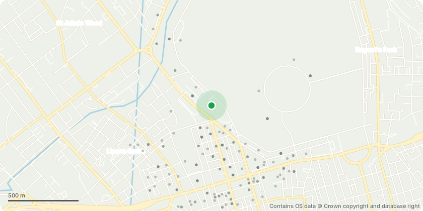
Approximate location - Contains OS data © Crown copyright and database right
Proposal
T451 Liquidambar styraciflua (Sweet Gum): Crown lift to 2.5m T455 Malus tschonoskii (Pillar Apple): Crown lift to 3mT456 Salix babylonica (Weeping Willow): Crown lift to 2.5m over footpath.T458 Quercus palustris (Pin Oak): Crown lift to 3m over footpath.T459 Zelkova serrata (Japanese Zelkova): Crown lift to 2.5m over footpath. T460 Malus sp. (Apple sp.): Crown lift to 2.5m over footpath T468 Arbutus unedo (Strawberry Tree): Crown lift to 2.5m over footpath and 3m over highwayT472 Quercus cerris (Turkey Oak): Crown lift to 3mT474 Pyrus sp. (Pear sp.): Crown lift to 2.5mT475 Pyrus salicifolia 'Pendula' (Willow-leaved Pear): Crown lift to 2m over footpathT508 Tilia x vulgaris (Common Lime): Crown lift to 3m and prune back from street light to clear by 1mT509 Acer negundo (Box Elder (Ash - Leaved) Maple): Crown lift to 3m and prune back from street light to clear by 1mS514 Cotoneaster sp. (Tree Cotoneaster): Crown lift to 3m over footpath, removing pendulous secondary growth onlyT515 Cerasus serrulata (Japanese Cherry): Crown lift to 3m over footpath, removing pendulous secondary growth only
Key dates
- Received 23 Sept 2025
- Validated 23 Sept 2025
- Started 23 Sept 2025
- Decided 21 Oct 2025
Planning history / related applications
No related planning applications have been identified in the current public OGL dataset.
Inside plotEdge
Go beyond the public record
This page is the public OGL record. plotEdge adds the private intelligence layer for this site - open it in the app to unlock:
- Ownership & title Registered owner and title from HM Land Registry.
- Viability & build potential Site scoring and development upside.
- Constraints Flood risk, green belt, conservation areas and designations.
- Approval signal Planning risk and approval-likelihood analysis.
- Comparable applications Decisions on similar nearby sites, side by side.
- Status alerts Get notified the moment this application changes.
Source: public planning application data from Westminster, reused under the Open Government Licence v3.0. View the council source record. Council documents and drawings are not republished on plotEdge.