Westminster
Westminster/25/05872/ADFULL
24 Clarendon Gardens London W9 1AZ
- Reference
- Westminster/25/05872/ADFULL
- Authority
- Westminster
- Application type
- ADFULL
- Address
- 24 Clarendon Gardens London W9 1AZ
- Postcode
- W9 1AZ
- Status
- Decided
- Decision
- Application Permitted
- Received
- 19 Aug 2025
- Validated
- 19 Aug 2025
- Started
- 19 Aug 2025
- Decided
- 12 Feb 2026
- Source council
- Westminster
- Council source record
- View public record
- Public data licence
- Open Government Licence v3.0
- Record updated
- 18 Jul 2026
- SEO index generated
- 24 Jul 2026
Location
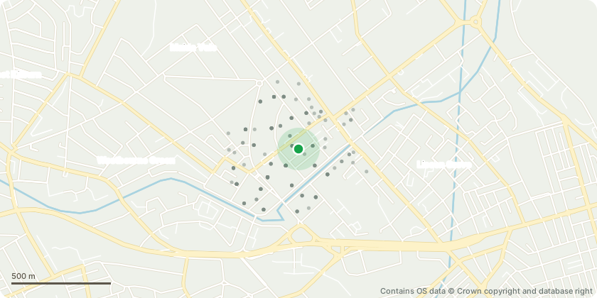
Approximate location - Contains OS data © Crown copyright and database right
Proposal
Detailed drawings including sections, and method statements where applicable; of the railings, balconies, gate showing traditional detail of hinges- each type showing location and giving key details with adjacent fabric, details of new rear infill extension including new external doors, and roof glazing showing details of materiality and key junctions with existing fabric, external staircase, ladders reflected ceiling plans showing light fittings etc and coordinated integrated services, indicating new or retained existing ceiling constructions, a method statement further to investigative works for removal of modern ceilings and reinstatement of historic ceilings if applicable, must be included, details of existing and proposed floor build ups further to investigative works, cross referred on plans, details of sample photos showing materiality and technical specifications of any new glazing for the windows and details of sample photographs and specifications of the paving material at rear garden, infill rear extension including glazing, frames, staircase, landing pursuant to condition 4 (A), (B), (C), (G), (I), 5 & 7 of planning permission dated 12th June 2025 (RN:25/00027/FULL)
Key dates
- Received 19 Aug 2025
- Validated 19 Aug 2025
- Started 19 Aug 2025
- Decided 12 Feb 2026
Planning history / related applications
No related planning applications have been identified in the current public OGL dataset.
Inside plotEdge
Go beyond the public record
This page is the public OGL record. plotEdge adds the private intelligence layer for this site - open it in the app to unlock:
- Ownership & title Registered owner and title from HM Land Registry.
- Viability & build potential Site scoring and development upside.
- Constraints Flood risk, green belt, conservation areas and designations.
- Approval signal Planning risk and approval-likelihood analysis.
- Comparable applications Decisions on similar nearby sites, side by side.
- Status alerts Get notified the moment this application changes.
Source: public planning application data from Westminster, reused under the Open Government Licence v3.0. View the council source record. Council documents and drawings are not republished on plotEdge.