Westminster
Westminster/25/05693/NMA
Triangle Development Site Situated Adjacent To Paddington Station Praed Street London W2 6BA
- Reference
- Westminster/25/05693/NMA
- Authority
- Westminster
- Application type
- Non-material amendment
- Address
- Triangle Development Site Situated Adjacent To Paddington Station Praed Street London W2 6BA
- Postcode
- W2 6BA
- Status
- Decided
- Decision
- Application Permitted
- Received
- 13 Aug 2025
- Validated
- 13 Aug 2025
- Started
- 13 Aug 2025
- Decided
- 30 Sept 2025
- Source council
- Westminster
- Council source record
- View public record
- Public data licence
- Open Government Licence v3.0
- Record updated
- 18 Jul 2026
- SEO index generated
- 24 Jul 2026
Location
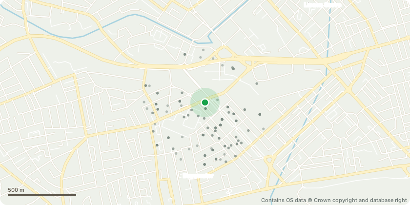
Approximate location - Contains OS data © Crown copyright and database right
Proposal
Amendments to planning permission dated 2nd April 2015 (RN:12/07668/FULL) for Development of an office building comprising canal-side reception with 21 storeys of offices and either Class A1/A2/A3 use at canal-side and first floor level, alongside pedestrian linkages to Paddington Station and Bishop's Bridge Road, in conjunction with landscaping and other associated works. Namely, rationalisation of the southern structural transfer expression; rationalisation of the canal side structural transfer expression to match the structural grid; reconfiguration of the east and central core, including: addition of a dedicated fire-fighting lift, addition of a combined passenger/evacuation lift and a passenger/goods lift that now serve the basement levels, and enlargement and relocation of the accessible WC from the eastern to the central core; external alterations to the western lift shaft façade, reducing the extent of glazing; the material treatment of the stair and lift cores changed from aluminium cladding to concrete; 500mm extension of the north office façade; replacement of the brise soleil (fins) with deeply expressed mullion system; external terraces reconfigured; Internal layout reconfiguration; and adjustment of the Building Maintenance Unit (BMU) layout at roof level.
Key dates
- Received 13 Aug 2025
- Validated 13 Aug 2025
- Started 13 Aug 2025
- Decided 30 Sept 2025
Planning history / related applications
No related planning applications have been identified in the current public OGL dataset.
Inside plotEdge
Go beyond the public record
This page is the public OGL record. plotEdge adds the private intelligence layer for this site - open it in the app to unlock:
- Ownership & title Registered owner and title from HM Land Registry.
- Viability & build potential Site scoring and development upside.
- Constraints Flood risk, green belt, conservation areas and designations.
- Approval signal Planning risk and approval-likelihood analysis.
- Comparable applications Decisions on similar nearby sites, side by side.
- Status alerts Get notified the moment this application changes.
Source: public planning application data from Westminster, reused under the Open Government Licence v3.0. View the council source record. Council documents and drawings are not republished on plotEdge.