West Oxfordshire
West Oxfordshire/26/01165/TCA
The Old Piggery Church Road Northmoor Witney Oxfordshire OX29 5SX
- Reference
- West Oxfordshire/26/01165/TCA
- Authority
- West Oxfordshire
- Application type
- Trees in conservation area
- Address
- The Old Piggery Church Road Northmoor Witney Oxfordshire OX29 5SX
- Postcode
- OX29 5SX
- Status
- Decided
- Decision
- Raise no objection
- Received
- 12 May 2026
- Validated
- 12 May 2026
- Started
- 12 May 2026
- Decided
- 26 May 2026
- Source council
- West Oxfordshire
- Council source record
- View public record
- Public data licence
- Open Government Licence v3.0
- Record updated
- 18 Jul 2026
- SEO index generated
- 24 Jul 2026
Location
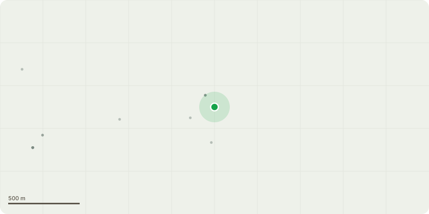
Approximate location
Proposal
T1: Willow: Photo 2605B. Reduce overall height by reducing/removing the two biggest central branches, either back to suitable unions, as marked, or back to original pollard point. Percentage of tree removed: approx less than 5%.T2/3: Pair of Crab-apples: Photos 2605C and 2605D. Reduce overall height - cut back epicormic growth to previous pruning point. Also, a very small crown raise, removing maybe 1-2 of the lowest branches, to allow better visibility for cars turning out of the drive onto the main road. Percentage of tree removed: approx 5-10%. This is clearly a repeat of work which has been done regularly, to keep these ornamental trees down to a reasonable height, as they are adjacent to the road.T4: Cherry: Photo 2605E. Reduce overall height and spread by selective removal of upper limbs, and by reducing limb currently encroaching on adjacent Pear tree. Percentage of tree removed: approx 5-10%.T5: Small Pear: Photo 2605F. Remove/reduce minimum of branches to rebalance it, once encroaching Cherry has been reduced. Percentage of tree removed: minimal, approx less than 5%.T6: Cytisus battandieri: Photo 2605G: remove/shorten the lowest main branch, to remove weight from the road side: and then to reduce the overall height by shortening the indeterminate leader to a suitable union. Percentage of tree removed: approx around 10-15%
Key dates
- Received 12 May 2026
- Validated 12 May 2026
- Started 12 May 2026
- Decided 26 May 2026
Planning history / related applications
No related planning applications have been identified in the current public OGL dataset.
Inside plotEdge
Go beyond the public record
This page is the public OGL record. plotEdge adds the private intelligence layer for this site - open it in the app to unlock:
- Ownership & title Registered owner and title from HM Land Registry.
- Viability & build potential Site scoring and development upside.
- Constraints Flood risk, green belt, conservation areas and designations.
- Approval signal Planning risk and approval-likelihood analysis.
- Comparable applications Decisions on similar nearby sites, side by side.
- Status alerts Get notified the moment this application changes.
Source: public planning application data from West Oxfordshire, reused under the Open Government Licence v3.0. View the council source record. Council documents and drawings are not republished on plotEdge.