West Oxfordshire
West Oxfordshire/25/01101/TPO
80A Dovehouse Close Eynsham Witney Oxfordshire OX29 4EY
- Reference
- West Oxfordshire/25/01101/TPO
- Authority
- West Oxfordshire
- Application type
- Tree preservation order
- Address
- 80A Dovehouse Close Eynsham Witney Oxfordshire OX29 4EY
- Postcode
- OX29 4EY
- Status
- Decided
- Decision
- Raise no objection
- Received
- 28 Apr 2025
- Validated
- 28 Apr 2025
- Started
- 28 Apr 2025
- Decided
- 28 May 2025
- Source council
- West Oxfordshire
- Council source record
- View public record
- Public data licence
- Open Government Licence v3.0
- Record updated
- 18 Jul 2026
- SEO index generated
- 24 Jul 2026
Location
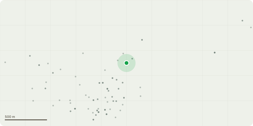
Approximate location
Proposal
T2 Ash remove, TG1 Ash remove, T1 Ash Remove. The tree works are proposed to stop the influence of the tree(s) on the soil below building foundation level and provide long term stability 76 Dovehouse Close, Witney, OX29 4EY. Estimated costs of repair to the building are ?38,016.00 if the influence of the tree(s) remain and ?5,152.03 if the proposed tree works are allowed to proceed. Granting permission will limit these costs. In the event of a refusal we, or our clients, will seek to secure compensation for the additional costs incurred through Section 202(e). Should the tree/s remain the total cost of repairs will be the Superstructural repairs + Alternative method of repairs = ?43,168.03. It is the expert opinion of both the case engineer and arboriculturalist that on the balance of probabilities the supporting information demonstrates the influence of the tree(s). Note: Further monitoring results may be submitted if these become available during the course of this application.
Key dates
- Received 28 Apr 2025
- Validated 28 Apr 2025
- Started 28 Apr 2025
- Decided 28 May 2025
Planning history / related applications
No related planning applications have been identified in the current public OGL dataset.
Inside plotEdge
Go beyond the public record
This page is the public OGL record. plotEdge adds the private intelligence layer for this site - open it in the app to unlock:
- Ownership & title Registered owner and title from HM Land Registry.
- Viability & build potential Site scoring and development upside.
- Constraints Flood risk, green belt, conservation areas and designations.
- Approval signal Planning risk and approval-likelihood analysis.
- Comparable applications Decisions on similar nearby sites, side by side.
- Status alerts Get notified the moment this application changes.
Source: public planning application data from West Oxfordshire, reused under the Open Government Licence v3.0. View the council source record. Council documents and drawings are not republished on plotEdge.