West Oxfordshire
West Oxfordshire/25/00705/TCA
6 Ball Lane Tackley Kidlington Oxfordshire OX5 3AG
- Reference
- West Oxfordshire/25/00705/TCA
- Authority
- West Oxfordshire
- Application type
- Trees in conservation area
- Address
- 6 Ball Lane Tackley Kidlington Oxfordshire OX5 3AG
- Postcode
- OX5 3AG
- Status
- Decided
- Decision
- Raise no objection
- Received
- 18 Mar 2025
- Validated
- 18 Mar 2025
- Started
- 18 Mar 2025
- Decided
- 8 Apr 2025
- Source council
- West Oxfordshire
- Council source record
- View public record
- Public data licence
- Open Government Licence v3.0
- Record updated
- 18 Jul 2026
- SEO index generated
- 24 Jul 2026
Location
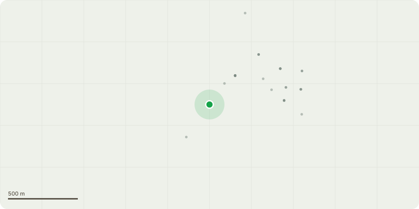
Approximate location
Proposal
Tree 1 - type unknown type of Crab Apple. Diseased/dead with likely fungal infection. Has not bloomed or fruited for 3yrs and has been sickly since we moved in in 2020. Has also grown into boundary dry stone wall causing damage and affecting integrity and impedes driveway access. This is a boundary wall into next door neighbours garden/out house. We wish to have diseased tree removed by a tree surgeon to prevent further damage or spread of infection to other nearby trees.Tree 2 - Silver Birch. Diseased and dangerous/unstable as regularly dropping large branches onto driveway where our cars are parked as well as greenhouse underneath. We have young children playing in the garden and are concerned for their safety with this tree. We wish to have this diseased tree removed by a tree surgeon to avoid accidents and damage to our property.
Key dates
- Received 18 Mar 2025
- Validated 18 Mar 2025
- Started 18 Mar 2025
- Decided 8 Apr 2025
Planning history / related applications
No related planning applications have been identified in the current public OGL dataset.
Inside plotEdge
Go beyond the public record
This page is the public OGL record. plotEdge adds the private intelligence layer for this site - open it in the app to unlock:
- Ownership & title Registered owner and title from HM Land Registry.
- Viability & build potential Site scoring and development upside.
- Constraints Flood risk, green belt, conservation areas and designations.
- Approval signal Planning risk and approval-likelihood analysis.
- Comparable applications Decisions on similar nearby sites, side by side.
- Status alerts Get notified the moment this application changes.
Source: public planning application data from West Oxfordshire, reused under the Open Government Licence v3.0. View the council source record. Council documents and drawings are not republished on plotEdge.