West Oxfordshire
West Oxfordshire/25/00402/TCA
Bell House Chipping Norton Road Little Tew Chipping Norton Oxfordshire OX7 4JF
- Reference
- West Oxfordshire/25/00402/TCA
- Authority
- West Oxfordshire
- Application type
- Trees in conservation area
- Address
- Bell House Chipping Norton Road Little Tew Chipping Norton Oxfordshire OX7 4JF
- Postcode
- OX7 4JF
- Status
- Decided
- Decision
- Raise no objection
- Received
- 14 Feb 2025
- Validated
- 14 Feb 2025
- Started
- 14 Feb 2025
- Decided
- 21 Feb 2025
- Source council
- West Oxfordshire
- Council source record
- View public record
- Public data licence
- Open Government Licence v3.0
- Record updated
- 18 Jul 2026
- SEO index generated
- 24 Jul 2026
Location
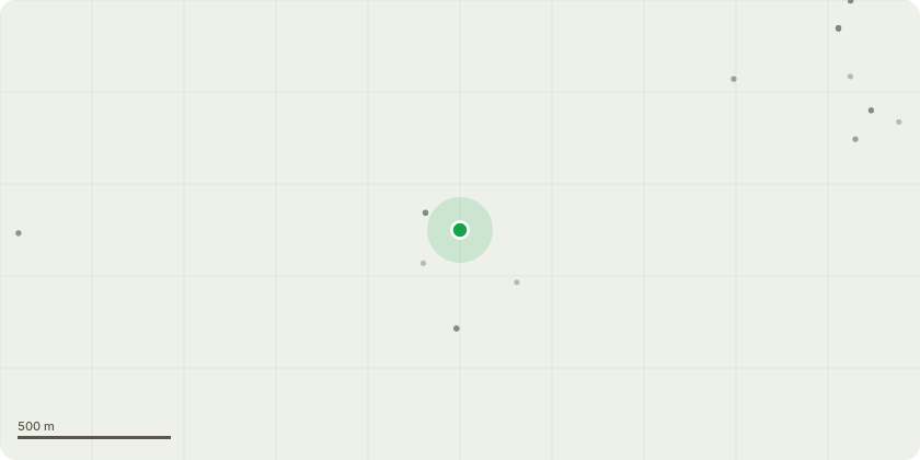
Approximate location
Proposal
Sallow (tree 4): 1/. Remove the lowest secondary branch overhanging the road - the branch is identified in the attached photo. This branch has already been damaged historically by passing agricultural vehicles which has caused a bark wound - see photo. The contractor carrying out the approved works (ref: 23/01549/LBC) has advised that HIAB vehicles are likely to damage this branch further when accessing the site. Removal of the branch is extremely unlikely to detract from the amenity value of the tree or its useful life expectancy. 2/. Crown lift tree 4 over existing building to deliver 1.5m clearance over ridge in order to complete approved works. Works should be carried out by an appropriately qualified tree surgeon, holding the correct insurance, according to the guidelines stipulated in BS3998:2010.
Key dates
- Received 14 Feb 2025
- Validated 14 Feb 2025
- Started 14 Feb 2025
- Decided 21 Feb 2025
Planning history / related applications
No related planning applications have been identified in the current public OGL dataset.
Inside plotEdge
Go beyond the public record
This page is the public OGL record. plotEdge adds the private intelligence layer for this site - open it in the app to unlock:
- Ownership & title Registered owner and title from HM Land Registry.
- Viability & build potential Site scoring and development upside.
- Constraints Flood risk, green belt, conservation areas and designations.
- Approval signal Planning risk and approval-likelihood analysis.
- Comparable applications Decisions on similar nearby sites, side by side.
- Status alerts Get notified the moment this application changes.
Source: public planning application data from West Oxfordshire, reused under the Open Government Licence v3.0. View the council source record. Council documents and drawings are not republished on plotEdge.