West Oxfordshire
West Oxfordshire/25/00365/TCA
Holly House Park Street Charlbury Chipping Norton Oxfordshire OX7 3PT
- Reference
- West Oxfordshire/25/00365/TCA
- Authority
- West Oxfordshire
- Application type
- Trees in conservation area
- Address
- Holly House Park Street Charlbury Chipping Norton Oxfordshire OX7 3PT
- Postcode
- OX7 3PT
- Status
- Decided
- Decision
- Raise no objection
- Received
- 12 Feb 2025
- Validated
- 12 Feb 2025
- Started
- 12 Feb 2025
- Decided
- 1 Apr 2025
- Source council
- West Oxfordshire
- Council source record
- View public record
- Public data licence
- Open Government Licence v3.0
- Record updated
- 18 Jul 2026
- SEO index generated
- 24 Jul 2026
Location
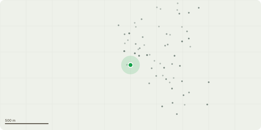
Approximate location
Proposal
Application to fell the Holly tree located on the verge directly to the front of Holly House, Park Street, Charlbury OX7 3PT. The holly tree is located on the verge close up against the boundary wall directly in front of Holly House. The tree now exceeds the height of the house and the roots have completely undermined the dry stone boundary wall and the wall is now collapsing. The wall is partially collapsed and is currently only being supported by a small shed. I am unable to make any repairs to the wall with the tree in situ and I am concerned that future growth will cause further damage to my property and increase the restriction of light to Holly House. I reported the issue via the Oxfordshire County Council "FixMyStreet" option last year on their website under Claim Reference: PLH/23/02120, and have received a positive response confirming that the County Council should contribute towards the repair of the wall. However, before I can commence any repairs to the wall the tree needs felling and I am therefore applying for permission to have the tree felled.
Key dates
- Received 12 Feb 2025
- Validated 12 Feb 2025
- Started 12 Feb 2025
- Decided 1 Apr 2025
Planning history / related applications
No related planning applications have been identified in the current public OGL dataset.
Inside plotEdge
Go beyond the public record
This page is the public OGL record. plotEdge adds the private intelligence layer for this site - open it in the app to unlock:
- Ownership & title Registered owner and title from HM Land Registry.
- Viability & build potential Site scoring and development upside.
- Constraints Flood risk, green belt, conservation areas and designations.
- Approval signal Planning risk and approval-likelihood analysis.
- Comparable applications Decisions on similar nearby sites, side by side.
- Status alerts Get notified the moment this application changes.
Source: public planning application data from West Oxfordshire, reused under the Open Government Licence v3.0. View the council source record. Council documents and drawings are not republished on plotEdge.