West Oxfordshire
West Oxfordshire/24/02070/TCA
Stonehaven Ticknell Lane Charlbury Chipping Norton Oxfordshire OX7 3SJ
- Reference
- West Oxfordshire/24/02070/TCA
- Authority
- West Oxfordshire
- Application type
- Trees in conservation area
- Address
- Stonehaven Ticknell Lane Charlbury Chipping Norton Oxfordshire OX7 3SJ
- Postcode
- OX7 3SJ
- Status
- Decided
- Decision
- Raise no objection
- Received
- 9 Aug 2024
- Validated
- 9 Aug 2024
- Started
- 9 Aug 2024
- Decided
- 2 Jan 2025
- Source council
- West Oxfordshire
- Council source record
- View public record
- Public data licence
- Open Government Licence v3.0
- Record updated
- 18 Jul 2026
- SEO index generated
- 24 Jul 2026
Location
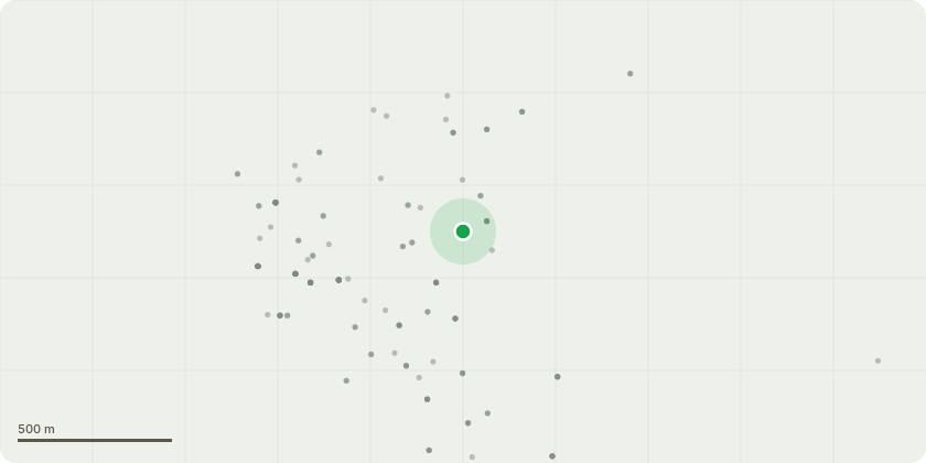
Approximate location
Proposal
The single tree is located to the front of the property (north) and on the east side of the main entrance and gate. It is a Horse Chestnut tree. It is very large and has browning disease on its leaves, although it produces very health concours. We would like to remove the tree. This would be done by cutting the tree back with climbing aborists until the main trunk was left to avoid felling in the constraint space. We would look to replace the tree with a smaller one of the same species to be grown from sampling. If this is not possible we would like the tree cut back and managed. This would ideally be whole crown reduction. But if this is not possible then your guidance would be welcomed. We have had a brief chat with an arborist who suggested we get the planning office to take a look. It is a very large tree and currently threatens 3 properties if it were to fall. Thankyou.
Key dates
- Received 9 Aug 2024
- Validated 9 Aug 2024
- Started 9 Aug 2024
- Decided 2 Jan 2025
Planning history / related applications
No related planning applications have been identified in the current public OGL dataset.
Inside plotEdge
Go beyond the public record
This page is the public OGL record. plotEdge adds the private intelligence layer for this site - open it in the app to unlock:
- Ownership & title Registered owner and title from HM Land Registry.
- Viability & build potential Site scoring and development upside.
- Constraints Flood risk, green belt, conservation areas and designations.
- Approval signal Planning risk and approval-likelihood analysis.
- Comparable applications Decisions on similar nearby sites, side by side.
- Status alerts Get notified the moment this application changes.
Source: public planning application data from West Oxfordshire, reused under the Open Government Licence v3.0. View the council source record. Council documents and drawings are not republished on plotEdge.