West Lindsey
West Lindsey/WL/2024/00805
LAND EAST OF, SOMERBY WAY, SOMERBY PARK, GAINSBOROUGH, DN21 1QT
- Reference
- West Lindsey/WL/2024/00805
- Authority
- West Lindsey
- Address
- LAND EAST OF, SOMERBY WAY, SOMERBY PARK, GAINSBOROUGH, DN21 1QT
- Postcode
- DN21 1QT
- Status
- Determined
- Decision
- Grant
- Received
- 7 Oct 2024
- Started
- 7 Oct 2024
- Source council
- West Lindsey
- Council source record
- View public record
- Public data licence
- Open Government Licence v3.0
- Record updated
- 18 Jul 2026
- SEO index generated
- 24 Jul 2026
Location
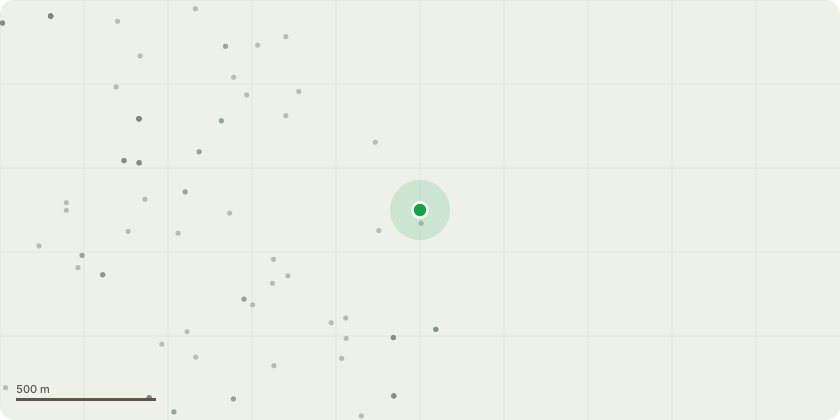
Approximate location
Proposal
Application for non-material amendment to planning permission 146058 granted 21 December 2023 for rooflight & roof mounted PV arrangements, roof colour change, roof ridge height reduced, reception portico colour confirmed as RAL 5003, office 1st floor ribbon window extended by one bay, door positions along East elevation updated to suit fire escape distances, path to rear of warehouse changed from block paving to concrete, warehouse dividing wall omitted, bell mouth turning moved to suit fire tender access, future car parking spaces reduced to 24no and layout revised, boundary fence line updated to accommodate retention of planting, 1.1m High post and 3no rail fencing with timber maintenance / access gate added to attenuation pond, sub-station moved closer to building footpath design development
Key dates
- Received 7 Oct 2024
- Started 7 Oct 2024
Planning history / related applications
No related planning applications have been identified in the current public OGL dataset.
Inside plotEdge
Go beyond the public record
This page is the public OGL record. plotEdge adds the private intelligence layer for this site - open it in the app to unlock:
- Ownership & title Registered owner and title from HM Land Registry.
- Viability & build potential Site scoring and development upside.
- Constraints Flood risk, green belt, conservation areas and designations.
- Approval signal Planning risk and approval-likelihood analysis.
- Comparable applications Decisions on similar nearby sites, side by side.
- Status alerts Get notified the moment this application changes.
Source: public planning application data from West Lindsey, reused under the Open Government Licence v3.0. View the council source record. Council documents and drawings are not republished on plotEdge.