West Lancashire
West Lancashire/T/2026/0064/TPO
24 Cromwell Close Aughton Ormskirk Lancashire L39 5ET
- Reference
- West Lancashire/T/2026/0064/TPO
- Authority
- West Lancashire
- Application type
- Tree preservation order
- Address
- 24 Cromwell Close Aughton Ormskirk Lancashire L39 5ET
- Postcode
- L39 5ET
- Status
- Registered
- Received
- 18 Jun 2026
- Started
- 18 Jun 2026
- Source council
- West Lancashire
- Council source record
- View public record
- Public data licence
- Open Government Licence v3.0
- Record updated
- 18 Jul 2026
- SEO index generated
- 24 Jul 2026
Location
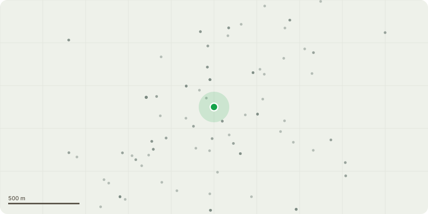
Approximate location
Proposal
With reference to the 2024 Tree Map and Tree map details 2024 documents and the photographs of Tree 2( birch) and tree 5 ( cedar).We undertook some approved tree works in early 2025 due to dead wood on the trees on our plot. Tree 2 (Birch) has failed to leaf for 3 consecutive years and now branches are actively falling from the tree - it is clearly dead and needs removal.Tree 5 (Cedar) was in a poor condition prior to the 2025 remedial tree works, with poor needle growth and dropping dead branches. It is now clearly dead with a profound needle drop in March 2026 and bare branches currently throughout the tree. I would like to remove Tree 2 and Tree 5 as they are dead and now in danger of falling ( or significant branch loss) during high winds.We have already planted an Acer in our rear border.I do not wish to replace the Cedar at this time as the garden is surrounded by trees, including large trees on neighbouring properties which limit light in this North facing garden
Key dates
- Received 18 Jun 2026
- Started 18 Jun 2026
Planning history / related applications
No related planning applications have been identified in the current public OGL dataset.
Inside plotEdge
Go beyond the public record
This page is the public OGL record. plotEdge adds the private intelligence layer for this site - open it in the app to unlock:
- Ownership & title Registered owner and title from HM Land Registry.
- Viability & build potential Site scoring and development upside.
- Constraints Flood risk, green belt, conservation areas and designations.
- Approval signal Planning risk and approval-likelihood analysis.
- Comparable applications Decisions on similar nearby sites, side by side.
- Status alerts Get notified the moment this application changes.
Source: public planning application data from West Lancashire, reused under the Open Government Licence v3.0. View the council source record. Council documents and drawings are not republished on plotEdge.