West Lancashire
West Lancashire/T/2026/0047/TPO
14A Moss Lane Hesketh Bank Preston Lancashire PR4 6AB
- Reference
- West Lancashire/T/2026/0047/TPO
- Authority
- West Lancashire
- Application type
- Tree preservation order
- Address
- 14A Moss Lane Hesketh Bank Preston Lancashire PR4 6AB
- Postcode
- PR4 6AB
- Status
- Decided
- Decision
- Grant Consent Subject to Conditions (TP)
- Received
- 14 May 2026
- Validated
- 14 May 2026
- Started
- 14 May 2026
- Decided
- 3 Jul 2026
- Source council
- West Lancashire
- Council source record
- View public record
- Public data licence
- Open Government Licence v3.0
- Record updated
- 18 Jul 2026
- SEO index generated
- 24 Jul 2026
Location
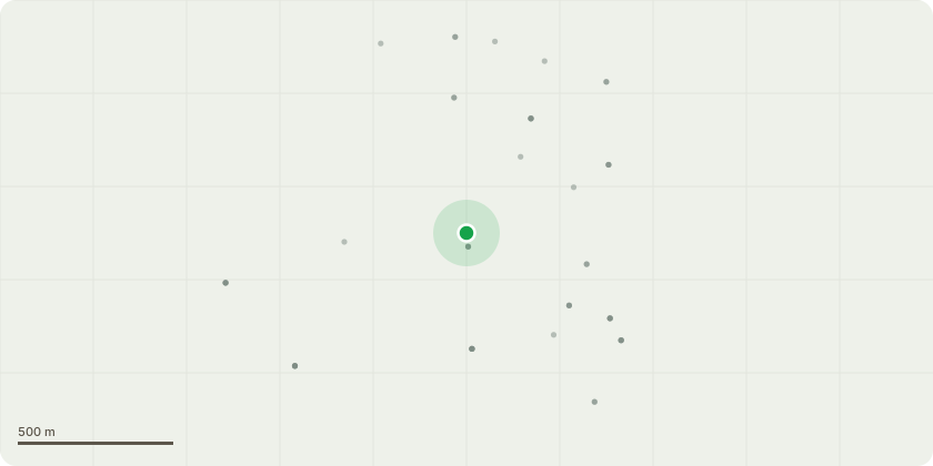
Approximate location
Proposal
The tree is a Beech tree situated directly in front of our property, as shown and marked on the attached images.It is my intention to prune back the branches that are directly overhanging my property, as well as those overhanging my neighbour?s property. I have marked these branches on the uploaded images to the best of my ability.The marked branches are now in contact with the roof and front structure of the property. The overhanging branches have grown significantly over the past few years and are now causing concern, including a dispute with the neighbouring property.We are increasingly concerned that, as time passes, the risk of damage to both properties is increasing. The proposed pruning works are intended to reduce this risk while ensuring that the tree is managed appropriately and in accordance with the requirements of the Tree Preservation Order.
Key dates
- Received 14 May 2026
- Validated 14 May 2026
- Started 14 May 2026
- Decided 3 Jul 2026
Planning history / related applications
No related planning applications have been identified in the current public OGL dataset.
Inside plotEdge
Go beyond the public record
This page is the public OGL record. plotEdge adds the private intelligence layer for this site - open it in the app to unlock:
- Ownership & title Registered owner and title from HM Land Registry.
- Viability & build potential Site scoring and development upside.
- Constraints Flood risk, green belt, conservation areas and designations.
- Approval signal Planning risk and approval-likelihood analysis.
- Comparable applications Decisions on similar nearby sites, side by side.
- Status alerts Get notified the moment this application changes.
Source: public planning application data from West Lancashire, reused under the Open Government Licence v3.0. View the council source record. Council documents and drawings are not republished on plotEdge.