West Lancashire
West Lancashire/T/2026/0024/TPO
12 Maesbrook Close Banks Southport Lancashire PR9 8FF
- Reference
- West Lancashire/T/2026/0024/TPO
- Authority
- West Lancashire
- Application type
- Tree preservation order
- Address
- 12 Maesbrook Close Banks Southport Lancashire PR9 8FF
- Postcode
- PR9 8FF
- Status
- Decided
- Decision
- Grant Consent Subject to Conditions (TP)
- Received
- 9 Mar 2026
- Validated
- 9 Mar 2026
- Started
- 9 Mar 2026
- Decided
- 17 Apr 2026
- Source council
- West Lancashire
- Council source record
- View public record
- Public data licence
- Open Government Licence v3.0
- Record updated
- 18 Jul 2026
- SEO index generated
- 24 Jul 2026
Location
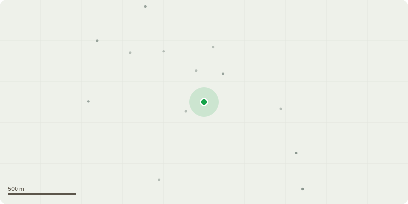
Approximate location
Proposal
The trees to the side/rear of my property were inspected late last year by Russell Critchley and Brian Dean. They agreed to remove five trees that were dead. In addition I requested the removed of a Sycamore that is very close and leaning towards our property (approx 10 feet from the property and 2 feet from the boundary fence). This tree is identified as T1 on the diagram.This tree is surrounded by other sycamores providing a visual barrier to our property and Russell advised it had no amenity valueFurther to this I am now requesting the removal of an almost identical tree, in size, lean and proximity to my property/boundary fence. It is also surrounded by other trees and will subsequently have no amenity value. This tree is identified as T2 on the diagramBoth these trees are similar in size, lead and location to a tree that was removed by the council under TPO back in 2018 that caused damage to my property roofI have a qualified contractor lined up to complete the work
Key dates
- Received 9 Mar 2026
- Validated 9 Mar 2026
- Started 9 Mar 2026
- Decided 17 Apr 2026
Planning history / related applications
No related planning applications have been identified in the current public OGL dataset.
Inside plotEdge
Go beyond the public record
This page is the public OGL record. plotEdge adds the private intelligence layer for this site - open it in the app to unlock:
- Ownership & title Registered owner and title from HM Land Registry.
- Viability & build potential Site scoring and development upside.
- Constraints Flood risk, green belt, conservation areas and designations.
- Approval signal Planning risk and approval-likelihood analysis.
- Comparable applications Decisions on similar nearby sites, side by side.
- Status alerts Get notified the moment this application changes.
Source: public planning application data from West Lancashire, reused under the Open Government Licence v3.0. View the council source record. Council documents and drawings are not republished on plotEdge.