West Lancashire
West Lancashire/T/2025/0149/TPO
Anfield 3 Brandreth Delph Parbold Wigan Lancashire WN8 7AQ
- Reference
- West Lancashire/T/2025/0149/TPO
- Authority
- West Lancashire
- Application type
- Tree preservation order
- Address
- Anfield 3 Brandreth Delph Parbold Wigan Lancashire WN8 7AQ
- Postcode
- WN8 7AQ
- Status
- Decided
- Decision
- Grant Consent Subject to Conditions (TP)
- Received
- 24 Nov 2025
- Validated
- 24 Nov 2025
- Started
- 24 Nov 2025
- Decided
- 27 Mar 2026
- Source council
- West Lancashire
- Council source record
- View public record
- Public data licence
- Open Government Licence v3.0
- Record updated
- 18 Jul 2026
- SEO index generated
- 24 Jul 2026
Location
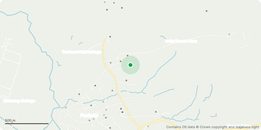
Approximate location - Contains OS data © Crown copyright and database right
Proposal
English oak trees. Reduce over all crown height to reduce the risk of any future limbs failing in storms. Trees are in close proximity to the property below, over shadowed by the encroaching canopy. The property is set within a bowl, banked area, making the base of the trees considerably higher than the property, therefore making the over all height of the trees a lot higher to the property, compared to them being on level grounds with the property. From my point of view, this has became a safety concern. With each tree competing on the banked area they have grown as a pole up until the first 25ft+, creating some heavy limbs with in each crown, which has joined to almost create one big canopy overlooking the property. There have been several snap outs in the past and most recent in our last storm. The trees will benefit from a crown reduction, and most importantly the safety of the people, pets and the property. I have been out to the property and spoken with the tenant after the limb failed, which was close to striking the property, these are some large mature oak trees which do really encroach and over look the property, with a lot of weight in the canopy.
Key dates
- Received 24 Nov 2025
- Validated 24 Nov 2025
- Started 24 Nov 2025
- Decided 27 Mar 2026
Planning history / related applications
No related planning applications have been identified in the current public OGL dataset.
Inside plotEdge
Go beyond the public record
This page is the public OGL record. plotEdge adds the private intelligence layer for this site - open it in the app to unlock:
- Ownership & title Registered owner and title from HM Land Registry.
- Viability & build potential Site scoring and development upside.
- Constraints Flood risk, green belt, conservation areas and designations.
- Approval signal Planning risk and approval-likelihood analysis.
- Comparable applications Decisions on similar nearby sites, side by side.
- Status alerts Get notified the moment this application changes.
Source: public planning application data from West Lancashire, reused under the Open Government Licence v3.0. View the council source record. Council documents and drawings are not republished on plotEdge.