West Lancashire
West Lancashire/T/2025/0140/TPO
6 Dawber Delph Appley Bridge Wigan Lancashire WN6 9LN
- Reference
- West Lancashire/T/2025/0140/TPO
- Authority
- West Lancashire
- Application type
- Tree preservation order
- Address
- 6 Dawber Delph Appley Bridge Wigan Lancashire WN6 9LN
- Postcode
- WN6 9LN
- Status
- Decided
- Decision
- Grant Consent Subject to Conditions (TP)
- Received
- 7 Nov 2025
- Validated
- 7 Nov 2025
- Started
- 7 Nov 2025
- Decided
- 7 Apr 2026
- Source council
- West Lancashire
- Council source record
- View public record
- Public data licence
- Open Government Licence v3.0
- Record updated
- 18 Jul 2026
- SEO index generated
- 24 Jul 2026
Location
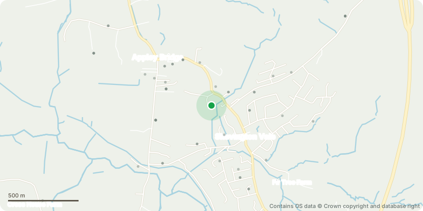
Approximate location - Contains OS data © Crown copyright and database right
Proposal
The trees are Poplars. These were identified by a tree surgeon who came round to have a look at them. He advised that they do need a large amount of cutting back and crowing due to the height of the trees, how exposed they are (being very open across tyhe East Quarry lake, when it is windy, they move alot and several large limbed branches have already come down in winds) and how close they are to both my property and my neighbours. I have searched multiple sources, both within the West Lancs Council website, and other map sources to try and find the Preservation order numbers. I am assuming these trees have preservation orders, when we bought the house, 15 years ago, the solicitor advised that there are multiple trees with orders on them within our garden, it is just these 2 that i want the work on as they are so overgrown and potentially dangerous.
Key dates
- Received 7 Nov 2025
- Validated 7 Nov 2025
- Started 7 Nov 2025
- Decided 7 Apr 2026
Planning history / related applications
No related planning applications have been identified in the current public OGL dataset.
Inside plotEdge
Go beyond the public record
This page is the public OGL record. plotEdge adds the private intelligence layer for this site - open it in the app to unlock:
- Ownership & title Registered owner and title from HM Land Registry.
- Viability & build potential Site scoring and development upside.
- Constraints Flood risk, green belt, conservation areas and designations.
- Approval signal Planning risk and approval-likelihood analysis.
- Comparable applications Decisions on similar nearby sites, side by side.
- Status alerts Get notified the moment this application changes.
Source: public planning application data from West Lancashire, reused under the Open Government Licence v3.0. View the council source record. Council documents and drawings are not republished on plotEdge.