West Lancashire
West Lancashire/T/2025/0103/TPO
Bank Top Farm 66 Bank Top Roby Mill Up Holland Skelmersdale Lancashire WN8 0QQ
- Reference
- West Lancashire/T/2025/0103/TPO
- Authority
- West Lancashire
- Application type
- Tree preservation order
- Address
- Bank Top Farm 66 Bank Top Roby Mill Up Holland Skelmersdale Lancashire WN8 0QQ
- Postcode
- WN8 0QQ
- Status
- Decided
- Decision
- Grant Consent Subject to Conditions (TP)
- Received
- 2 Sept 2025
- Validated
- 5 Sept 2025
- Started
- 5 Sept 2025
- Decided
- 2 Oct 2025
- Source council
- West Lancashire
- Council source record
- View public record
- Public data licence
- Open Government Licence v3.0
- Record updated
- 18 Jul 2026
- SEO index generated
- 24 Jul 2026
Location
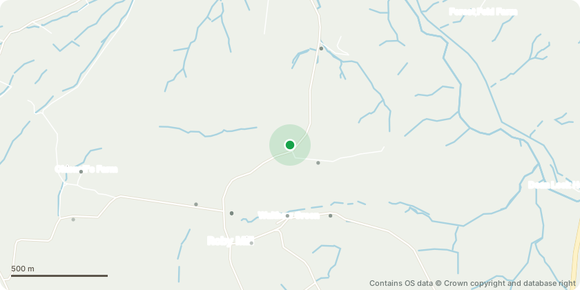
Approximate location - Contains OS data © Crown copyright and database right
Proposal
We would like to request approval for the removal of a large ash tree located in the rear garden of our property, identified as T3 under Tree Preservation Order No. 69.Over the past two years, the tree has exhibited increasing signs of deterioration, including the frequent shedding of branches of various sizes. Several large limbs?one approximately 15 feet in length?have fallen unexpectedly, posing a serious risk to the safety of residents, visitors, and animals who regularly use the garden. In addition, we have observed a significant presence of dead leaves and dieback throughout the canopy.During a recent visit by Mr. Matthew Parkinson of the West Lancashire Highways Department, for another matter, he informally assessed the tree and noted visible symptoms consistent with Ash Dieback disease. Given the progressive nature of this condition and the associated structural instability, we are concerned that the tree now presents a substantial health and safety hazard.In addition to the safety concerns outlined above, we would also like to highlight the impact that the ash tree (T3) is having on another protected tree within our garden?T4, a Whitebeam, which is also subject to a Tree Preservation Order. Due to the considerable height and canopy spread of T3, T4 is significantly overshadowed and appears to be struggling as a result of reduced light and space. We are concerned that the continued dominance of T3 may compromise the long-term health and viability of T4.In light of these circumstances, we respectfully request permission to remove the tree. We are committed to complying with all necessary procedures and would be happy to provide further documentation or arrange a formal inspection if required.For clarity, we would also like to note that Planning Reference T/2020/0108/TPO pertains to our neighbour, Mr. Ray Martland, who resides at 66c. This reference does not relate to our property, despite its mention in documents provided by Mr. Martland. His addres
Key dates
- Received 2 Sept 2025
- Validated 5 Sept 2025
- Started 5 Sept 2025
- Decided 2 Oct 2025
Planning history / related applications
No related planning applications have been identified in the current public OGL dataset.
Inside plotEdge
Go beyond the public record
This page is the public OGL record. plotEdge adds the private intelligence layer for this site - open it in the app to unlock:
- Ownership & title Registered owner and title from HM Land Registry.
- Viability & build potential Site scoring and development upside.
- Constraints Flood risk, green belt, conservation areas and designations.
- Approval signal Planning risk and approval-likelihood analysis.
- Comparable applications Decisions on similar nearby sites, side by side.
- Status alerts Get notified the moment this application changes.
Source: public planning application data from West Lancashire, reused under the Open Government Licence v3.0. View the council source record. Council documents and drawings are not republished on plotEdge.