West Lancashire
West Lancashire/T/2025/0039/TCA
The Meadow Hillock Lane Scarisbrick Ormskirk Lancashire L40 9QA
- Reference
- West Lancashire/T/2025/0039/TCA
- Authority
- West Lancashire
- Application type
- Trees in conservation area
- Address
- The Meadow Hillock Lane Scarisbrick Ormskirk Lancashire L40 9QA
- Postcode
- L40 9QA
- Status
- Decided
- Decision
- Grant Consent for works (TCA)
- Received
- 18 Jun 2025
- Validated
- 19 Jun 2025
- Started
- 19 Jun 2025
- Decided
- 9 Jul 2025
- Source council
- West Lancashire
- Council source record
- View public record
- Public data licence
- Open Government Licence v3.0
- Record updated
- 18 Jul 2026
- SEO index generated
- 24 Jul 2026
Location
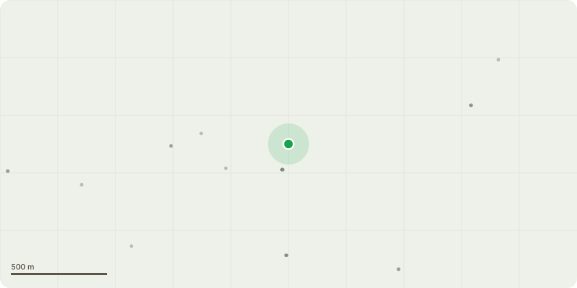
Approximate location
Proposal
The tree is a weeping willow located approximately 10m away from 3 homes. The current age is approximately 15 years old and has significantly increased in size within the last year. Currently the tree stands at (approximately) 12-15m.I have ascertained advice and a quotation from a registered and insured tree company, whom recommended to reduce the crown of the tree by approximately 50%.The nature of this tree is detrimental to our home and neighbours with the tree creating a likelihood of foundation issues and subsidence due to the amount of water required and root span.It?s a beautiful tree and I would not request such action if the species of tree was not so problematic. It should not have been planted originally in my opinion.I hope this is a satisfactory reason my requested actions.
Key dates
- Received 18 Jun 2025
- Validated 19 Jun 2025
- Started 19 Jun 2025
- Decided 9 Jul 2025
Planning history / related applications
No related planning applications have been identified in the current public OGL dataset.
Inside plotEdge
Go beyond the public record
This page is the public OGL record. plotEdge adds the private intelligence layer for this site - open it in the app to unlock:
- Ownership & title Registered owner and title from HM Land Registry.
- Viability & build potential Site scoring and development upside.
- Constraints Flood risk, green belt, conservation areas and designations.
- Approval signal Planning risk and approval-likelihood analysis.
- Comparable applications Decisions on similar nearby sites, side by side.
- Status alerts Get notified the moment this application changes.
Source: public planning application data from West Lancashire, reused under the Open Government Licence v3.0. View the council source record. Council documents and drawings are not republished on plotEdge.