West Lancashire
West Lancashire/T/2025/0014/TCA
16 Granville Park Aughton Ormskirk Lancashire L39 5DU
- Reference
- West Lancashire/T/2025/0014/TCA
- Authority
- West Lancashire
- Application type
- Trees in conservation area
- Address
- 16 Granville Park Aughton Ormskirk Lancashire L39 5DU
- Postcode
- L39 5DU
- Status
- Decided
- Decision
- Grant Consent for works (TCA)
- Received
- 18 Feb 2025
- Validated
- 18 Feb 2025
- Started
- 18 Feb 2025
- Decided
- 15 Apr 2025
- Source council
- West Lancashire
- Council source record
- View public record
- Public data licence
- Open Government Licence v3.0
- Record updated
- 18 Jul 2026
- SEO index generated
- 24 Jul 2026
Location
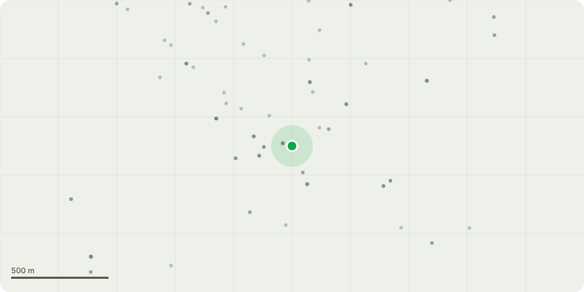
Approximate location
Proposal
T1 Ash Tree at the front of the house, the tree has ash dieback, we removed one next to it a months ago and noticed this one also has it, the tree is top heavy and is leaning to one side, the roots and base of the tree has caused damage to the existing hedging, other plants and the walling, a branch came off in the last strong winds and slightly damage the garage roof, we would like to remove the tree and plant two new trees behind the new hedging when it?s in, also removing the ask now will also help the new laurel hedging.T2 sliver birch on the fence like between number 16 and number 14, the sliver birch is not in good health, please see photos, it?s rotten in places, a large branch has fallen off as it?s so rotten, we would like to remove the sliver birch and plant 3 new trees along the border.
Key dates
- Received 18 Feb 2025
- Validated 18 Feb 2025
- Started 18 Feb 2025
- Decided 15 Apr 2025
Planning history / related applications
No related planning applications have been identified in the current public OGL dataset.
Inside plotEdge
Go beyond the public record
This page is the public OGL record. plotEdge adds the private intelligence layer for this site - open it in the app to unlock:
- Ownership & title Registered owner and title from HM Land Registry.
- Viability & build potential Site scoring and development upside.
- Constraints Flood risk, green belt, conservation areas and designations.
- Approval signal Planning risk and approval-likelihood analysis.
- Comparable applications Decisions on similar nearby sites, side by side.
- Status alerts Get notified the moment this application changes.
Source: public planning application data from West Lancashire, reused under the Open Government Licence v3.0. View the council source record. Council documents and drawings are not republished on plotEdge.