West Lancashire
West Lancashire/T/2024/0160/TPO
18 Winifred Lane Aughton Ormskirk Lancashire L39 5DJ
- Reference
- West Lancashire/T/2024/0160/TPO
- Authority
- West Lancashire
- Application type
- Tree preservation order
- Address
- 18 Winifred Lane Aughton Ormskirk Lancashire L39 5DJ
- Postcode
- L39 5DJ
- Status
- Decided
- Decision
- Grant Consent Subject to Conditions (TP)
- Received
- 9 Dec 2024
- Validated
- 9 Dec 2024
- Started
- 9 Dec 2024
- Decided
- 19 Dec 2024
- Source council
- West Lancashire
- Council source record
- View public record
- Public data licence
- Open Government Licence v3.0
- Record updated
- 18 Jul 2026
- SEO index generated
- 24 Jul 2026
Location
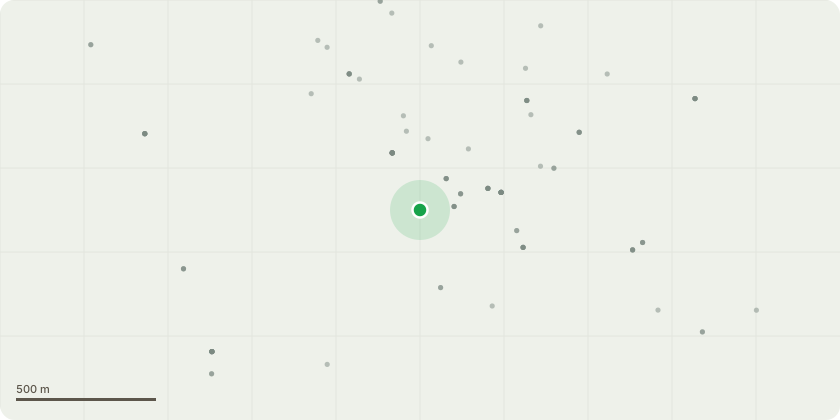
Approximate location
Proposal
The main concern for work is to make areas safe for people/children and the property. Also to allow more light through for the client. The property is set back from the main road, surrounded by mature mixed species of trees and tall conifers keeping the property in shade throughout most of the year.T1: Beech. Tree to be crown raised by 5m, with deadwood removed over driveway gated areaG2: Group of 4 trees x1 sycamore, x3 cherry. Trees to be removed due to large bracket fungus, which have left them standing deadT3: Oak. Crown reduction, crown thinning & crown raise to make safer and allow a more direct light in to the property, along with full deadwood removal.T4: Eucalyptus: Tree has became really leggy with the limbs stretching out over the lawn encroaching towards the property and play area, making it a hazard with weight and length the limbs have gained over the years. The tree appears to have had work carried out on one limb in the past, from the signs a large limb reduced by almost halfway which has created a new canopy below the main crown. Tree would benefit from some reduction work down to a suitable pruning point along with dead wood removal to make safer.
Key dates
- Received 9 Dec 2024
- Validated 9 Dec 2024
- Started 9 Dec 2024
- Decided 19 Dec 2024
Planning history / related applications
No related planning applications have been identified in the current public OGL dataset.
Inside plotEdge
Go beyond the public record
This page is the public OGL record. plotEdge adds the private intelligence layer for this site - open it in the app to unlock:
- Ownership & title Registered owner and title from HM Land Registry.
- Viability & build potential Site scoring and development upside.
- Constraints Flood risk, green belt, conservation areas and designations.
- Approval signal Planning risk and approval-likelihood analysis.
- Comparable applications Decisions on similar nearby sites, side by side.
- Status alerts Get notified the moment this application changes.
Source: public planning application data from West Lancashire, reused under the Open Government Licence v3.0. View the council source record. Council documents and drawings are not republished on plotEdge.