West Lancashire
West Lancashire/T/2024/0121/TPO
97 Chequer Lane Up Holland Skelmersdale Lancashire WN8 0DE
- Reference
- West Lancashire/T/2024/0121/TPO
- Authority
- West Lancashire
- Application type
- Tree preservation order
- Address
- 97 Chequer Lane Up Holland Skelmersdale Lancashire WN8 0DE
- Postcode
- WN8 0DE
- Status
- Decided
- Decision
- Grant Consent Subject to Conditions (TP)
- Received
- 25 Sept 2024
- Validated
- 26 Sept 2024
- Started
- 26 Sept 2024
- Decided
- 6 Nov 2024
- Source council
- West Lancashire
- Council source record
- View public record
- Public data licence
- Open Government Licence v3.0
- Record updated
- 18 Jul 2026
- SEO index generated
- 24 Jul 2026
Location
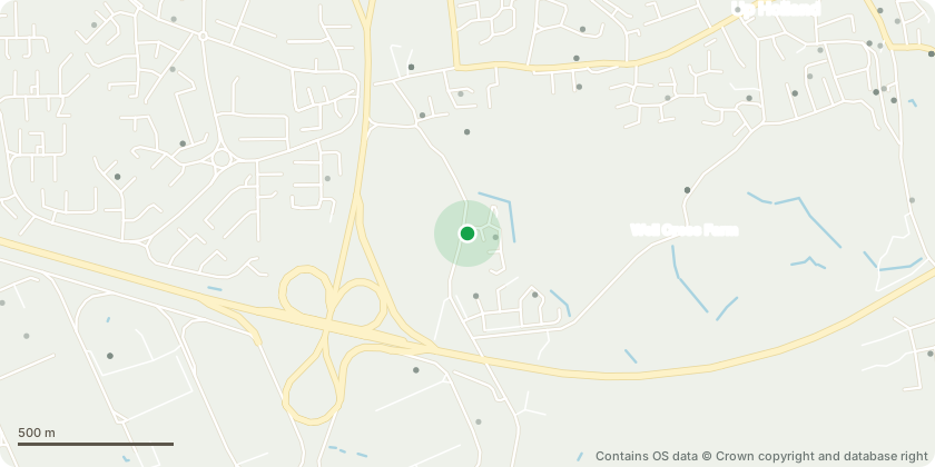
Approximate location - Contains OS data © Crown copyright and database right
Proposal
G1 ? Sycamores and horsechestnut.Trees approximately 12m at largest. Previously heavilyreduced which can lead to potential weak unions. Closeto wall although does not appear to be affecting it atthis time. Low over garden and roadCrown raise over road to provide 5m clearance and overgarden to provide 3.5m clearance. Removal ofsecondary and sub-lateral branches onlyCrown reduce by approximately 3m to reduce loadingon previous reduction points and to give an even heightin keeping with the more formal appearance of theproperty.G2 ? 2 Hawthorn, 1 Holly, 1poplar, 1 sycamoreGroup of trees all competing for light. Poplar ? Codominant stem encroaching on other treeswithin group causing suppression. Remove stem closestto property.Sycamore ? Crown lift to 5m secondary and sub lateralbranches to reduce encroachment and to balancecrownHolly ? Reshape by reducing central leaders and shapinginto a more formal shape in keeping with the propertyT2 ? Pine Low over grass and driveway. Causing excessiveshading, suppressing adjacent holly T3.Crown lift to 4m by removing branches back to branchcollarT3 ? Holly Suffering from interference by T2 pine. BecomingstragglyReshape by reducing all round by approximately 0.5mT1 ? Sycamore Encroaching over next door. Crown lift to a clear stem to 5m removal of sublateralbranches only
Key dates
- Received 25 Sept 2024
- Validated 26 Sept 2024
- Started 26 Sept 2024
- Decided 6 Nov 2024
Planning history / related applications
No related planning applications have been identified in the current public OGL dataset.
Inside plotEdge
Go beyond the public record
This page is the public OGL record. plotEdge adds the private intelligence layer for this site - open it in the app to unlock:
- Ownership & title Registered owner and title from HM Land Registry.
- Viability & build potential Site scoring and development upside.
- Constraints Flood risk, green belt, conservation areas and designations.
- Approval signal Planning risk and approval-likelihood analysis.
- Comparable applications Decisions on similar nearby sites, side by side.
- Status alerts Get notified the moment this application changes.
Source: public planning application data from West Lancashire, reused under the Open Government Licence v3.0. View the council source record. Council documents and drawings are not republished on plotEdge.