West Lancashire
West Lancashire/T/2024/0120/TPO
Ruff Wood Ruff Lane Ormskirk Lancashire L39 4UL
- Reference
- West Lancashire/T/2024/0120/TPO
- Authority
- West Lancashire
- Application type
- Tree preservation order
- Address
- Ruff Wood Ruff Lane Ormskirk Lancashire L39 4UL
- Postcode
- L39 4UL
- Status
- Decided
- Decision
- Grant Consent Subject to Conditions (TP)
- Received
- 20 Sept 2024
- Validated
- 20 Sept 2024
- Started
- 20 Sept 2024
- Decided
- 7 Oct 2024
- Source council
- West Lancashire
- Council source record
- View public record
- Public data licence
- Open Government Licence v3.0
- Record updated
- 18 Jul 2026
- SEO index generated
- 24 Jul 2026
Location
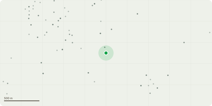
Approximate location
Proposal
Crown raise all trees along boundary to allow access for farm machinery. Limbs to be removed no more than up to 1/3 of each trees height and only up to the site boundary/flailed hedgeline. Species are Oak, Sweet Chestnut, Birch and Sycamore. See plan submitted by emailThere is a veteran Sweet Chestnut of approx 180cm dbh which leans out of the site over the adjoining land. This requires work to remove three specific limbs in order to reduce end weight. Consideration has been given to the size of wound resulting from any work and has been balanced against ensuring the long term survival of the tree. There are historic wounds to these limbs which show significant epicormic growth that are adding to end weight and prone to failure. See diagram for specific details of work required to this tree.
Key dates
- Received 20 Sept 2024
- Validated 20 Sept 2024
- Started 20 Sept 2024
- Decided 7 Oct 2024
Planning history / related applications
No related planning applications have been identified in the current public OGL dataset.
Inside plotEdge
Go beyond the public record
This page is the public OGL record. plotEdge adds the private intelligence layer for this site - open it in the app to unlock:
- Ownership & title Registered owner and title from HM Land Registry.
- Viability & build potential Site scoring and development upside.
- Constraints Flood risk, green belt, conservation areas and designations.
- Approval signal Planning risk and approval-likelihood analysis.
- Comparable applications Decisions on similar nearby sites, side by side.
- Status alerts Get notified the moment this application changes.
Source: public planning application data from West Lancashire, reused under the Open Government Licence v3.0. View the council source record. Council documents and drawings are not republished on plotEdge.