West Lancashire
West Lancashire/T/2024/0104/TPO
10 Crescent Green Aughton Ormskirk Lancashire L39 5DR
- Reference
- West Lancashire/T/2024/0104/TPO
- Authority
- West Lancashire
- Application type
- Tree preservation order
- Address
- 10 Crescent Green Aughton Ormskirk Lancashire L39 5DR
- Postcode
- L39 5DR
- Status
- Decided
- Decision
- Grant Consent Subject to Conditions (TP)
- Received
- 12 Aug 2024
- Validated
- 13 Aug 2024
- Started
- 13 Aug 2024
- Decided
- 11 Oct 2024
- Source council
- West Lancashire
- Council source record
- View public record
- Public data licence
- Open Government Licence v3.0
- Record updated
- 18 Jul 2026
- SEO index generated
- 24 Jul 2026
Location
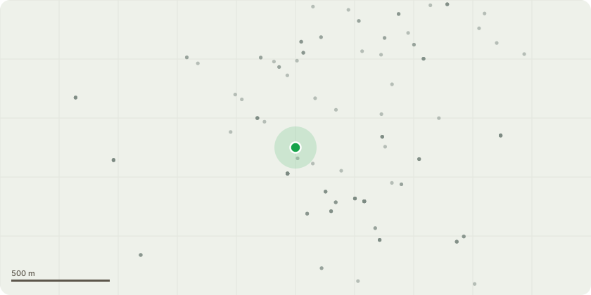
Approximate location
Proposal
Sycamore tree at the rear of 10 Crescent Green Aughton. The tree to be removed. This tree was subject to a successful application in 2021 reference:T/2021/0139/TPO. We were informed on 6.1.22 that permission was granted but clearly it had to be done after bird nesting season.Visits were made by officials from West Lancs Council and it was agreed the tree could be removed along with one other by the council. The council official said the council would carry out the work. It did not happen however other trees were removed at the read of numbers 8 and 12. The council agreed this remaining tree has exposed roots and as well as causing excessive shading there is also cause for concern that it could fall causing damage to property. Unfortunately due to an oversight on behalf of the council (which was admitted during a visit to our home by Brian Dean), the tree was not removed and unfortunately we were informed earlier this year that the planning consent period had passed and we needed to re-apply for removal of the tree once the bird nesting season was over which it will be in September.We were told the consent was merely a formality due to the earlier successful application and the mistakes admitted by the council in this matter.
Key dates
- Received 12 Aug 2024
- Validated 13 Aug 2024
- Started 13 Aug 2024
- Decided 11 Oct 2024
Planning history / related applications
No related planning applications have been identified in the current public OGL dataset.
Inside plotEdge
Go beyond the public record
This page is the public OGL record. plotEdge adds the private intelligence layer for this site - open it in the app to unlock:
- Ownership & title Registered owner and title from HM Land Registry.
- Viability & build potential Site scoring and development upside.
- Constraints Flood risk, green belt, conservation areas and designations.
- Approval signal Planning risk and approval-likelihood analysis.
- Comparable applications Decisions on similar nearby sites, side by side.
- Status alerts Get notified the moment this application changes.
Source: public planning application data from West Lancashire, reused under the Open Government Licence v3.0. View the council source record. Council documents and drawings are not republished on plotEdge.