West Berkshire
West Berkshire/26/01483/TPW
1 Theobald Drive Tilehurst Reading RG31 6YA
- Reference
- West Berkshire/26/01483/TPW
- Authority
- West Berkshire
- Application type
- TPW
- Address
- 1 Theobald Drive Tilehurst Reading RG31 6YA
- Postcode
- RG31 6YA
- Status
- Awaiting decision
- Received
- 6 Jul 2026
- Started
- 6 Jul 2026
- Source council
- West Berkshire
- Council source record
- View public record
- Public data licence
- Open Government Licence v3.0
- Record updated
- 18 Jul 2026
- SEO index generated
- 24 Jul 2026
Location
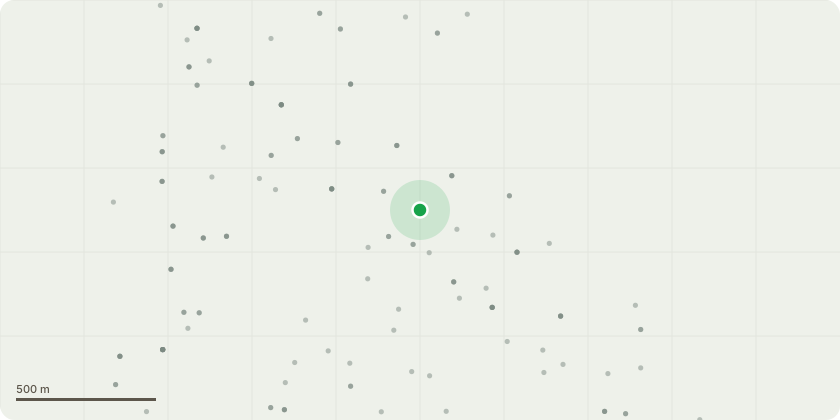
Approximate location
Proposal
T1 - Beech Tree: To Supply tree surgery services, machinery and equipment to Undertake the sectional felling of the Beech tree located within the rear garden, utilising a 45-tonne crane to safely lift and remove sections from the site. The resistance measurements indicate reduced resistance throughout all test locations. In conjunction with the presence of Kretzschmaria deusta (Brittle Cinder), these findings suggest cellulose degradation within the lower stem and buttress roots. This form of decay typically results in a progressive loss of structural integrity, causing the affected wood to become increasingly brittle and significantly increasing the risk of basal failure. Due to its size and proximity to surrounding structures, removal is recommended. A crane-assisted dismantle is considered the safest and most efficient method of removal.
Key dates
- Received 6 Jul 2026
- Started 6 Jul 2026
Planning history / related applications
No related planning applications have been identified in the current public OGL dataset.
Inside plotEdge
Go beyond the public record
This page is the public OGL record. plotEdge adds the private intelligence layer for this site - open it in the app to unlock:
- Ownership & title Registered owner and title from HM Land Registry.
- Viability & build potential Site scoring and development upside.
- Constraints Flood risk, green belt, conservation areas and designations.
- Approval signal Planning risk and approval-likelihood analysis.
- Comparable applications Decisions on similar nearby sites, side by side.
- Status alerts Get notified the moment this application changes.
Source: public planning application data from West Berkshire, reused under the Open Government Licence v3.0. View the council source record. Council documents and drawings are not republished on plotEdge.