West Berkshire
West Berkshire/26/01242/TPC
Trinity School Love Lane Shaw Newbury RG14 2DU
- Reference
- West Berkshire/26/01242/TPC
- Authority
- West Berkshire
- Application type
- TPC
- Address
- Trinity School Love Lane Shaw Newbury RG14 2DU
- Postcode
- RG14 2DU
- Status
- Awaiting decision
- Received
- 9 Jun 2026
- Started
- 9 Jun 2026
- Source council
- West Berkshire
- Council source record
- View public record
- Public data licence
- Open Government Licence v3.0
- Record updated
- 18 Jul 2026
- SEO index generated
- 24 Jul 2026
Location
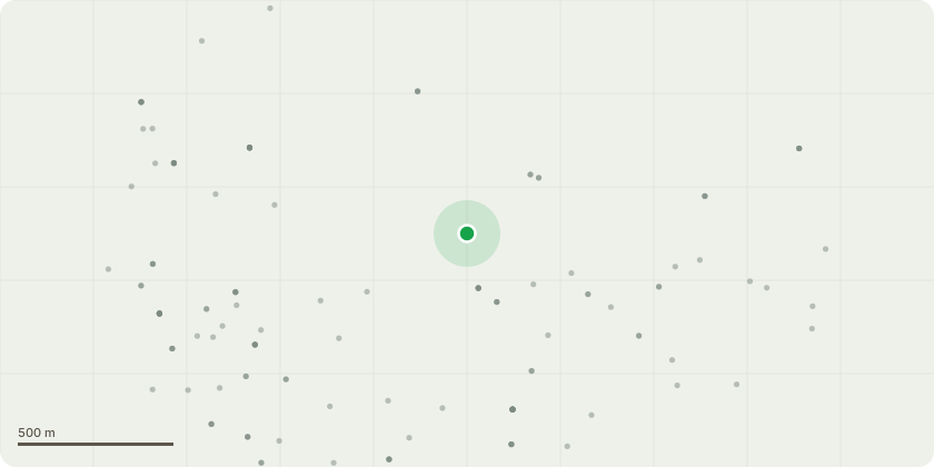
Approximate location
Proposal
T003 - Not tagged - Mixed species group. Sever ivy on sycamore trees in area. T004 - Tag 1031 - Sycamore. Reduce end weight by 50% through selective reduction of lower secondary branches, sever ivy during operations. High sided vehicles strikesT005 - Tag 1032 - Sycamore, Remove major deadwood - potential damaged to windows if failsT006 - Not tagged - Mixed species group. Sever ivy at baseT007 - Tag 0013 - Ash. Remove major deadwood - damage to building if failsT009 - Tag 1034 - Elder. Coppice to 1m. Collapsing structure.T011 - Tag 1035 - Mixed species group. Fell as close to ground level as possible. Standing dead elms in group.T010 - Tag 0010 - Lime. Pollard to previous pruning points. Maintain shape and sizeT012 - Tag 1036 - Mixed species group. Fell as close to ground level as possible. Ash dieback infection level 3T001 - Tag 1029 - Mixed species group & T002 - Tag 1030 - Lawson cypress. Fell as close to ground level as possible. Apply systemic herbicide to stump to prevent re-growth. Tree dead and loose in ground.T008 - Tag 1033 - Goat willow. Fell as close to ground level as possible. Apply systemic herbicide to stump to prevent re-growth. Self set tree too close to building, may cause structural damageT1 - Oak (Next to T11 by Fitness Centre) Remove major dead and diseased wood, 25mm in diameter and over. Remove to prevent droppage on pedestrians.
Key dates
- Received 9 Jun 2026
- Started 9 Jun 2026
Planning history / related applications
No related planning applications have been identified in the current public OGL dataset.
Inside plotEdge
Go beyond the public record
This page is the public OGL record. plotEdge adds the private intelligence layer for this site - open it in the app to unlock:
- Ownership & title Registered owner and title from HM Land Registry.
- Viability & build potential Site scoring and development upside.
- Constraints Flood risk, green belt, conservation areas and designations.
- Approval signal Planning risk and approval-likelihood analysis.
- Comparable applications Decisions on similar nearby sites, side by side.
- Status alerts Get notified the moment this application changes.
Source: public planning application data from West Berkshire, reused under the Open Government Licence v3.0. View the council source record. Council documents and drawings are not republished on plotEdge.