West Berkshire
West Berkshire/26/01236/TPW
Pinchington Lodge Pinchington Lane Greenham Thatcham RG19 8SR
- Reference
- West Berkshire/26/01236/TPW
- Authority
- West Berkshire
- Application type
- TPW
- Address
- Pinchington Lodge Pinchington Lane Greenham Thatcham RG19 8SR
- Postcode
- RG19 8SR
- Status
- Awaiting decision
- Received
- 9 Jun 2026
- Started
- 9 Jun 2026
- Source council
- West Berkshire
- Council source record
- View public record
- Public data licence
- Open Government Licence v3.0
- Record updated
- 18 Jul 2026
- SEO index generated
- 24 Jul 2026
Location
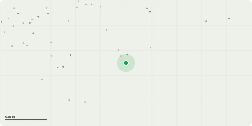
Approximate location
Proposal
T1 - Oak: The oak tree exhibits significant decay within the main stem and has previously suffered a major limb failure, resulting in substantial canopy loss. The tree is now leaning towards the adjacent property. Reduce to a monolith at approximately 2 metres (5/6 feet) in height for habitat purposes.T2, T3, T4 and T5 - Oaks (Group of 4): These mature oak trees overhang the neighbouring property (Beeridge and Co Builders Ltd). Works are required to mitigate risk from falling branches and manage overall size. Crown reduction by 2/3 metres. Final finished height: approximately 16/17 metres. Final crown spread: approximately 9/11 metresT6 - Ash (multi-stem): This ash tree is affected by ash dieback and is in decline. There is evidence of previous limb failure, significant deadwood, and a large suspended branch. Heavy pollard reduction by approximately 4/5 metres. Final finished height: approximately 12/13 metres. Final crown spread: approximately 6/8 metres
Key dates
- Received 9 Jun 2026
- Started 9 Jun 2026
Planning history / related applications
No related planning applications have been identified in the current public OGL dataset.
Inside plotEdge
Go beyond the public record
This page is the public OGL record. plotEdge adds the private intelligence layer for this site - open it in the app to unlock:
- Ownership & title Registered owner and title from HM Land Registry.
- Viability & build potential Site scoring and development upside.
- Constraints Flood risk, green belt, conservation areas and designations.
- Approval signal Planning risk and approval-likelihood analysis.
- Comparable applications Decisions on similar nearby sites, side by side.
- Status alerts Get notified the moment this application changes.
Source: public planning application data from West Berkshire, reused under the Open Government Licence v3.0. View the council source record. Council documents and drawings are not republished on plotEdge.