West Berkshire
West Berkshire/26/01175/CERTP
Old Cobbles Pinchington Lane Greenham Thatcham RG19 8SR
- Reference
- West Berkshire/26/01175/CERTP
- Authority
- West Berkshire
- Application type
- CERTP
- Address
- Old Cobbles Pinchington Lane Greenham Thatcham RG19 8SR
- Postcode
- RG19 8SR
- Status
- Awaiting decision
- Received
- 5 Jun 2026
- Started
- 5 Jun 2026
- Source council
- West Berkshire
- Council source record
- View public record
- Public data licence
- Open Government Licence v3.0
- Record updated
- 18 Jul 2026
- SEO index generated
- 24 Jul 2026
Location
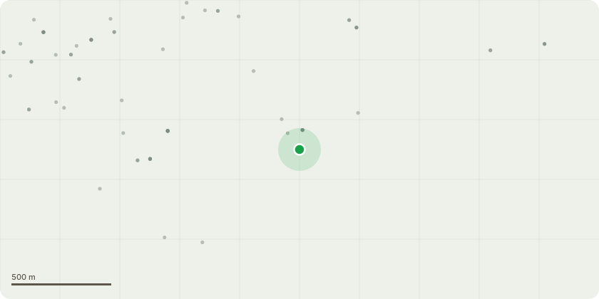
Approximate location
Proposal
Installation of 22 solar photovoltaic (PV) panels on the existing pitched roof slopes of the dwellinghouse, as follows: 12 panels (Aiko Energy AIKO-A490-MCE54Db, 490W each) on the west-facing roof slope (azimuth 260 degrees, slope 45 degrees); and 10 panels (same model) on the east-facing roof slope (azimuth 81 degrees, slope 45 degrees). Total system capacity 10.78kWp. Mounting system: Clenergy SolarPro tile interface with self-drilling fixings into existing roof structure. Associated works: installation of one Tesla Powerwall 3.0 (11.04kW) inverter and one Tesla Powerwall 3 battery (13.5kWh) internally within the dwelling. No new access, street, hardstanding, means of enclosure or drainage works are proposed. No new floor space is created. Panel positions are shown on the accompanying roof plan and elevations.
Key dates
- Received 5 Jun 2026
- Started 5 Jun 2026
Planning history / related applications
No related planning applications have been identified in the current public OGL dataset.
Inside plotEdge
Go beyond the public record
This page is the public OGL record. plotEdge adds the private intelligence layer for this site - open it in the app to unlock:
- Ownership & title Registered owner and title from HM Land Registry.
- Viability & build potential Site scoring and development upside.
- Constraints Flood risk, green belt, conservation areas and designations.
- Approval signal Planning risk and approval-likelihood analysis.
- Comparable applications Decisions on similar nearby sites, side by side.
- Status alerts Get notified the moment this application changes.
Source: public planning application data from West Berkshire, reused under the Open Government Licence v3.0. View the council source record. Council documents and drawings are not republished on plotEdge.