West Berkshire
West Berkshire/25/01994/TPW
5 Evans Way Compton Newbury RG20 6PD
- Reference
- West Berkshire/25/01994/TPW
- Authority
- West Berkshire
- Application type
- TPW
- Address
- 5 Evans Way Compton Newbury RG20 6PD
- Postcode
- RG20 6PD
- Status
- Decided
- Decision
- Approval
- Received
- 1 Sept 2025
- Validated
- 5 Sept 2025
- Started
- 5 Sept 2025
- Decided
- 20 Oct 2025
- Source council
- West Berkshire
- Council source record
- View public record
- Public data licence
- Open Government Licence v3.0
- Record updated
- 18 Jul 2026
- SEO index generated
- 24 Jul 2026
Location
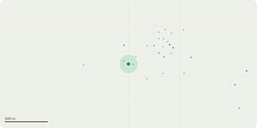
Approximate location
Proposal
T1 - Oak - Tip lift to 4m. Crown reduce remaining crown by c 1.2- 1.5m except lower crown overhanging neighbours garden on west side of crown that will be by 2 - 2.5mTree stands within a small rear garden and totally dominates the two gardens. Shading is excessive, physically preventing the full use of the garden to the families within the properties and this is impacting their quality of life.The tree is relatively young in the lifespan of the species and therefore, the negative impact mentioned above, will increase incrementally.The proposed pruning is modest in respect to size of the tree, within BS3998(2010) with exception of proposed lower crown reduction over neighbours garden and the trees vitality should respond positively to such pruning. The benefits of undertaking this work now whilst the tree is at this age and vitality is that it will in all likelyhood continue to thrive, whilst any delay will mean that future tree pruning will ( depending on time passed)require larger pruning wounds whilst tree is older and have potentially less vitality.Going forward, this work would provide a template for a regular cycle of tree pruning ( I suggest every 5 years) so maintaining this tree in the enviroment well into the future, whilst accommodating the requirement for space and light for the residents.
Key dates
- Received 1 Sept 2025
- Validated 5 Sept 2025
- Started 5 Sept 2025
- Decided 20 Oct 2025
Planning history / related applications
No related planning applications have been identified in the current public OGL dataset.
Inside plotEdge
Go beyond the public record
This page is the public OGL record. plotEdge adds the private intelligence layer for this site - open it in the app to unlock:
- Ownership & title Registered owner and title from HM Land Registry.
- Viability & build potential Site scoring and development upside.
- Constraints Flood risk, green belt, conservation areas and designations.
- Approval signal Planning risk and approval-likelihood analysis.
- Comparable applications Decisions on similar nearby sites, side by side.
- Status alerts Get notified the moment this application changes.
Source: public planning application data from West Berkshire, reused under the Open Government Licence v3.0. View the council source record. Council documents and drawings are not republished on plotEdge.