West Berkshire
West Berkshire/25/01894/TPC
Corn Baggers Back Street East Garston Hungerford RG17 7EX
- Reference
- West Berkshire/25/01894/TPC
- Authority
- West Berkshire
- Application type
- TPC
- Address
- Corn Baggers Back Street East Garston Hungerford RG17 7EX
- Postcode
- RG17 7EX
- Status
- Decided
- Decision
- No Objection Raised
- Received
- 19 Aug 2025
- Validated
- 19 Aug 2025
- Started
- 19 Aug 2025
- Decided
- 29 Sept 2025
- Source council
- West Berkshire
- Council source record
- View public record
- Public data licence
- Open Government Licence v3.0
- Record updated
- 18 Jul 2026
- SEO index generated
- 24 Jul 2026
Location
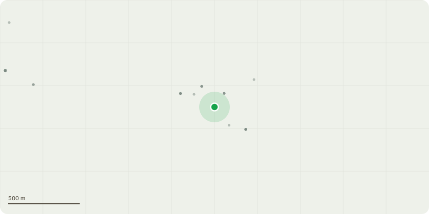
Approximate location
Proposal
Trees A,B,C and D are located within Corn Baggers on the river bank. Sycamore (A) - Fell. The tree is decaying with a substantial limb previously fallen across the river.Sycamore (B) - Fell. The tree is only 1.5m to (A) and covered in ivy. Both have experienced structural damage and should they fail will fall into/over the river onto the road endangering the public or will fall onto Corn Baggers, a Heritage Listed building.Ash (C +D) - Fell. C is showing signs of ash die back (many ash trees in East Garston affected), with a straggly reduced crown and brown dead leaves. This tree is c1m from the neighbouring sycamore (not subject to this application). Tree D, should it fail will fall into the river and neighbouring property or onto the greenhouse within the vegetable patch. Our neighbours also wish to see this tree removed.Oak (E + F). Remove lower overhanging branches. These trees are located within Jubilee Meadow, therefore owned by East Garston Parish Council. Their branches overhang Corn Baggers garden and in turn are affecting our trees within the orchard.
Key dates
- Received 19 Aug 2025
- Validated 19 Aug 2025
- Started 19 Aug 2025
- Decided 29 Sept 2025
Planning history / related applications
No related planning applications have been identified in the current public OGL dataset.
Inside plotEdge
Go beyond the public record
This page is the public OGL record. plotEdge adds the private intelligence layer for this site - open it in the app to unlock:
- Ownership & title Registered owner and title from HM Land Registry.
- Viability & build potential Site scoring and development upside.
- Constraints Flood risk, green belt, conservation areas and designations.
- Approval signal Planning risk and approval-likelihood analysis.
- Comparable applications Decisions on similar nearby sites, side by side.
- Status alerts Get notified the moment this application changes.
Source: public planning application data from West Berkshire, reused under the Open Government Licence v3.0. View the council source record. Council documents and drawings are not republished on plotEdge.