West Berkshire
West Berkshire/25/01481/TPC
44 Northcroft Lane Newbury RG14 1BN
- Reference
- West Berkshire/25/01481/TPC
- Authority
- West Berkshire
- Application type
- TPC
- Address
- 44 Northcroft Lane Newbury RG14 1BN
- Postcode
- RG14 1BN
- Status
- Decided
- Decision
- No Objection Raised
- Received
- 26 Jun 2025
- Validated
- 26 Jun 2025
- Started
- 26 Jun 2025
- Decided
- 2 Sept 2025
- Source council
- West Berkshire
- Council source record
- View public record
- Public data licence
- Open Government Licence v3.0
- Record updated
- 18 Jul 2026
- SEO index generated
- 24 Jul 2026
Location
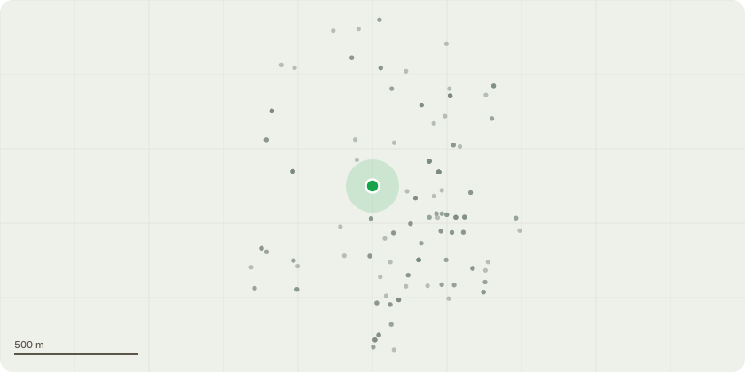
Approximate location
Proposal
T1 - Silver Birch: Tree to be felled. The Silver birch is starting to lift the paving slabs at the base of the tree (see Ref 2). The tree excessively shades the garden, we would love to plant more shrubs and flowers in the flowerbed (and other areas of the garden), but the large silver birch restricts sunlight. A small branch fell from the tree this week (See Ref 3), we feel this will only get worse over time, we have a 6 year old that loves playing in the garden, but we are concerned that something falling could fall and injure her, or us. The tree heavily overhangs the workshop and no 42s garden. We are concerned that the sap falling could reduce the life of the workshop roof. Our neighbour also parks his car under the tree at the back of his garden and the sap falls on it. This will damage the paintwork over time.
Key dates
- Received 26 Jun 2025
- Validated 26 Jun 2025
- Started 26 Jun 2025
- Decided 2 Sept 2025
Planning history / related applications
No related planning applications have been identified in the current public OGL dataset.
Inside plotEdge
Go beyond the public record
This page is the public OGL record. plotEdge adds the private intelligence layer for this site - open it in the app to unlock:
- Ownership & title Registered owner and title from HM Land Registry.
- Viability & build potential Site scoring and development upside.
- Constraints Flood risk, green belt, conservation areas and designations.
- Approval signal Planning risk and approval-likelihood analysis.
- Comparable applications Decisions on similar nearby sites, side by side.
- Status alerts Get notified the moment this application changes.
Source: public planning application data from West Berkshire, reused under the Open Government Licence v3.0. View the council source record. Council documents and drawings are not republished on plotEdge.