West Berkshire
West Berkshire/25/01478/TPW
The Bull Reading Road Streatley Reading RG8 9JJ
- Reference
- West Berkshire/25/01478/TPW
- Authority
- West Berkshire
- Application type
- TPW
- Address
- The Bull Reading Road Streatley Reading RG8 9JJ
- Postcode
- RG8 9JJ
- Status
- Decided
- Decision
- Approval
- Received
- 26 Jun 2025
- Validated
- 26 Jun 2025
- Started
- 26 Jun 2025
- Decided
- 13 Aug 2025
- Source council
- West Berkshire
- Council source record
- View public record
- Public data licence
- Open Government Licence v3.0
- Record updated
- 18 Jul 2026
- SEO index generated
- 24 Jul 2026
Location
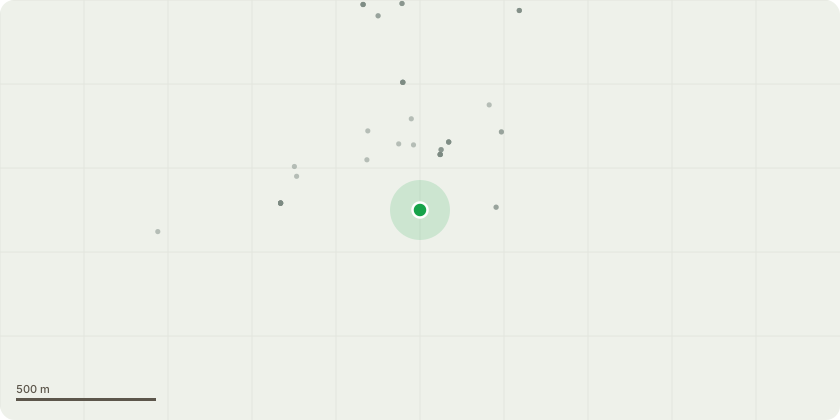
Approximate location
Proposal
T1 - Yew: This large tree is situated in the rear garden and outside seating area within the pub grounds. A public footpath leading into the pub goes directly past the tree, and currently, patrons must duck underneath its lower branches, posing a significant health and safety issue. RSL recently had to visit the site for an emergency call out to remove a detached, broken branch which came from this tree's canopy as it was caught up and hanging on the power cables that are within close proximity to the canopy as it presented a very significant public safety hazard. There is approximately 30% of decline and dieback within the canopy. We are therefore proposing, at this time that a crown lift of approximately 3m is carried out, in order to not only shape, but to also provide a safe clearance gap above pedestrian head height around entire lower crown. Basal epicormic growth on pub side to be retained.We also recommend removing the small amount of deadwood from the dieback areas within the canopy, to prevent deadwood falling out of the tree, but to maintain the shape of the canopy.All of these actions will improve not only the health and safety situation but also allow the tree to continue to flourish, thrive, and grow.
Key dates
- Received 26 Jun 2025
- Validated 26 Jun 2025
- Started 26 Jun 2025
- Decided 13 Aug 2025
Planning history / related applications
No related planning applications have been identified in the current public OGL dataset.
Inside plotEdge
Go beyond the public record
This page is the public OGL record. plotEdge adds the private intelligence layer for this site - open it in the app to unlock:
- Ownership & title Registered owner and title from HM Land Registry.
- Viability & build potential Site scoring and development upside.
- Constraints Flood risk, green belt, conservation areas and designations.
- Approval signal Planning risk and approval-likelihood analysis.
- Comparable applications Decisions on similar nearby sites, side by side.
- Status alerts Get notified the moment this application changes.
Source: public planning application data from West Berkshire, reused under the Open Government Licence v3.0. View the council source record. Council documents and drawings are not republished on plotEdge.