West Berkshire
West Berkshire/25/00887/CERTP
36 Groveland Road Speen Newbury RG14 1SS
- Reference
- West Berkshire/25/00887/CERTP
- Authority
- West Berkshire
- Application type
- CERTP
- Address
- 36 Groveland Road Speen Newbury RG14 1SS
- Postcode
- RG14 1SS
- Status
- Decided
- Decision
- Approval
- Received
- 10 Apr 2025
- Validated
- 10 Apr 2025
- Started
- 10 Apr 2025
- Decided
- 4 Jun 2025
- Source council
- West Berkshire
- Council source record
- View public record
- Public data licence
- Open Government Licence v3.0
- Record updated
- 18 Jul 2026
- SEO index generated
- 24 Jul 2026
Location
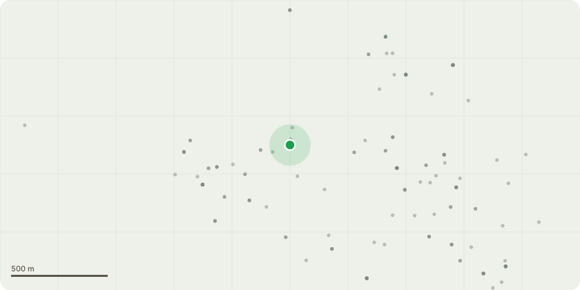
Approximate location
Proposal
Application for a Lawful Development Certificate for a Proposed Use - Ground floor kitchen extension to the rear of the property, bringing the rear of the kitchen in line with the current utility room the dimensions of this project are 2410mm out from the rear of the current property with a width of 3543mm. Our intention is to remove the existing wall between kitchen and dining room, and remove the existing downstairs rear wall to create an open plan kitchen / dining area, this structure would require the installation of supporting steel RSG's. This would also require the installation / provision of altered utilities eg. plumbing, electrical and drains. There are no requirements for any new access, layout new street, construction of hard standings, means of enclosure or means of draining the land / buildings.
Key dates
- Received 10 Apr 2025
- Validated 10 Apr 2025
- Started 10 Apr 2025
- Decided 4 Jun 2025
Planning history / related applications
No related planning applications have been identified in the current public OGL dataset.
Inside plotEdge
Go beyond the public record
This page is the public OGL record. plotEdge adds the private intelligence layer for this site - open it in the app to unlock:
- Ownership & title Registered owner and title from HM Land Registry.
- Viability & build potential Site scoring and development upside.
- Constraints Flood risk, green belt, conservation areas and designations.
- Approval signal Planning risk and approval-likelihood analysis.
- Comparable applications Decisions on similar nearby sites, side by side.
- Status alerts Get notified the moment this application changes.
Source: public planning application data from West Berkshire, reused under the Open Government Licence v3.0. View the council source record. Council documents and drawings are not republished on plotEdge.