West Berkshire
West Berkshire/24/01542/TPC
Wessex House 22 Oxford Road Newbury RG14 1PA
- Reference
- West Berkshire/24/01542/TPC
- Authority
- West Berkshire
- Application type
- TPC
- Address
- Wessex House 22 Oxford Road Newbury RG14 1PA
- Postcode
- RG14 1PA
- Status
- Decided
- Decision
- No Objection Raised
- Received
- 17 Jul 2024
- Validated
- 17 Jul 2024
- Started
- 17 Jul 2024
- Decided
- 21 Aug 2024
- Source council
- West Berkshire
- Council source record
- View public record
- Public data licence
- Open Government Licence v3.0
- Record updated
- 18 Jul 2026
- SEO index generated
- 24 Jul 2026
Location
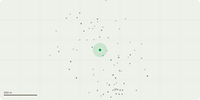
Approximate location
Proposal
T1 - Robinia: Fell because of structural damage caused to boundary wall. No replacement proposed as will result in similar issue in the future.T2 - Holly: Fell to allow access to maintain building. Essential repairs required to property roof and basement, tree is impacting on ability to doworks. No replacement proposed as will only hinder future maintenance.T3 - Laurel: Fell to allow access to maintain building. Essential repairs required to property roof and basement, tree is impacting on ability to doworks. No replacement proposed as will only hinder future maintenance.G4 - Ash and Bay: Fell to be able to allow maximum use of site. No replacement proposed as shrubs in location will remain and likely benefit from removal of self-seeded trees and enhance amenity of area.T11 - Sycamore: Fell as tree is self-seeded and is likely to cause structural damage to boundary if left to continue to grow. No replacementproposed as not an appropriate area for growing a tree.G12 - Ash and Thorn: Fell to clear area for parking. No replacement proposed as not an appropriate area for growing trees.T15 - Ash: Fell as tree suffering from extensive dieback. No replacement proposed as other established trees will fil in any gap in screening along boundary.
Key dates
- Received 17 Jul 2024
- Validated 17 Jul 2024
- Started 17 Jul 2024
- Decided 21 Aug 2024
Planning history / related applications
No related planning applications have been identified in the current public OGL dataset.
Inside plotEdge
Go beyond the public record
This page is the public OGL record. plotEdge adds the private intelligence layer for this site - open it in the app to unlock:
- Ownership & title Registered owner and title from HM Land Registry.
- Viability & build potential Site scoring and development upside.
- Constraints Flood risk, green belt, conservation areas and designations.
- Approval signal Planning risk and approval-likelihood analysis.
- Comparable applications Decisions on similar nearby sites, side by side.
- Status alerts Get notified the moment this application changes.
Source: public planning application data from West Berkshire, reused under the Open Government Licence v3.0. View the council source record. Council documents and drawings are not republished on plotEdge.