West Berkshire
West Berkshire/24/01380/TPW
The Rectory High Street Hermitage Thatcham RG18 9ST
- Reference
- West Berkshire/24/01380/TPW
- Authority
- West Berkshire
- Application type
- TPW
- Address
- The Rectory High Street Hermitage Thatcham RG18 9ST
- Postcode
- RG18 9ST
- Status
- Decided
- Decision
- Approval
- Received
- 24 Jun 2024
- Validated
- 2 Jul 2024
- Started
- 2 Jul 2024
- Decided
- 29 Jul 2024
- Source council
- West Berkshire
- Council source record
- View public record
- Public data licence
- Open Government Licence v3.0
- Record updated
- 18 Jul 2026
- SEO index generated
- 24 Jul 2026
Location
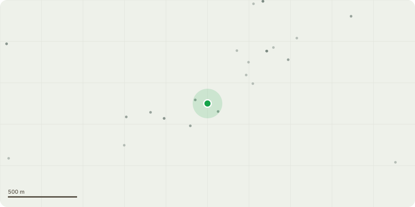
Approximate location
Proposal
T1 - Hickory - Raise low branches and prune back to suitable secondary growth points, branches over the public footpath and highway to achieve statutory clearance. Remove moderate sized deadwood. Prune branches to achieve a clearance of approx. 1/2 metre from overhead service cablesT2 - Robina: Raise low branches and prune back to suitable secondary growth points, branches over the public footpath and highway to achieve statutory clearance. Remove moderate sized deadwood. Prune branches to achieve a clearance of approximately 1/2 meter from overhead service cablesT3 - Cherry: Remove major and moderate sized deadwoodT4 - Cherry: Remove to approx 50mm fglT5 - Magnolia: Remove small stem in contact and damaging remaining stems to reduce likelihood of future longterm damageT7 - Oak: Remove moderate sized deadwoodT8 - Beech: Raise low branches to approximately 2.5m fglG1 - Mixed Broadleaf: Maintain topped height of previously topped Holly trees, including Holly in contact with a low branch of T9.Prune branches to maintain screening but remove contact to bordering fences and wall.T9 - Beech: Prune Holly to clear from low branchT11 - Sycamore: Remove moderate sized deadwood. Raise low branches to approximately 2.5m fgl. Prune secondary branch toclear power cable if sheathing has not been compromised
Key dates
- Received 24 Jun 2024
- Validated 2 Jul 2024
- Started 2 Jul 2024
- Decided 29 Jul 2024
Planning history / related applications
No related planning applications have been identified in the current public OGL dataset.
Inside plotEdge
Go beyond the public record
This page is the public OGL record. plotEdge adds the private intelligence layer for this site - open it in the app to unlock:
- Ownership & title Registered owner and title from HM Land Registry.
- Viability & build potential Site scoring and development upside.
- Constraints Flood risk, green belt, conservation areas and designations.
- Approval signal Planning risk and approval-likelihood analysis.
- Comparable applications Decisions on similar nearby sites, side by side.
- Status alerts Get notified the moment this application changes.
Source: public planning application data from West Berkshire, reused under the Open Government Licence v3.0. View the council source record. Council documents and drawings are not republished on plotEdge.