Welwyn Hatfield
Welwyn Hatfield/6/2026/0813/TPO
Park Meadow Hatfield AL9 5HE
- Reference
- Welwyn Hatfield/6/2026/0813/TPO
- Authority
- Welwyn Hatfield
- Application type
- WORKS TO TREES WITH TREE PRESERVATION ORDER
- Address
- Park Meadow Hatfield AL9 5HE
- Postcode
- AL9 5HE
- Status
- Under Consultation
- Decision
- Decision Date
- Received
- 13 May 2026
- Started
- 13 May 2026
- Source council
- Welwyn Hatfield
- Council source record
- View public record
- Public data licence
- Open Government Licence v3.0
- Record updated
- 9 Jul 2026
- SEO index generated
- 24 Jul 2026
Location
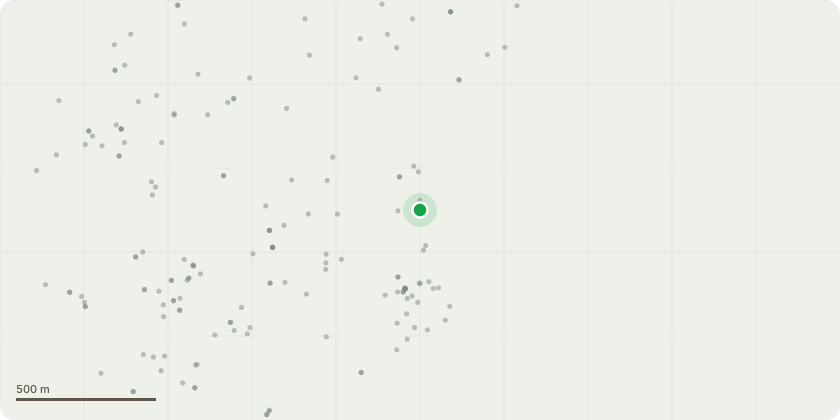
Approximate location
Proposal
T34 Pinus sylvestris, fell and grind out T35 Acer negundo remove dead branches T59 Fraxinus excelsior, remove dead branches T66 & T67 Fraxinus excelsior, cut back by about 1.5-2m from branch tips and dead wood removal T68 Styphnolobium japonicum, remove dead branches T69 Styphnolobium japonicum, remove dead wood and crossing branches and selectively repollard larger branches that could tear out T71 Acer campestre, lift over street light to provide 0.5-1m vertical & horizontal clearance T103 Fraxinus excelsior, Lift if feasible to achieve aim and / or cut back by up to 1.5m from tips the two horizontal branches T118 Malus sylvestris, lift over the adjacent parking space to give 2.4m vertical clearance T120 Gleditsia japonica, selectively reduce the crown to provide 1.5m clearance from the house T122 Aesculus x carnea, reduce the crown by 1.5m to 2m T127a Betula pendula, cut back from the house to provide 1.5m clearance T134 Acer capadocium, Reduce the crown to its last reduction points, remove dead wood, or to just below if decay is present or by 2m from branch tips T135 Acer capadocium, Reduce the crown to its last reduction points, remove dead wood, or to just below if decay is present or by 2m from branch tips T136 Acer capadocium, Reduce the crown to its last reduction points, remove dead wood, or to just below if decay is present or by 2m from branch tips
Key dates
- Received 13 May 2026
- Started 13 May 2026
Planning history / related applications
No related planning applications have been identified in the current public OGL dataset.
Inside plotEdge
Go beyond the public record
This page is the public OGL record. plotEdge adds the private intelligence layer for this site - open it in the app to unlock:
- Ownership & title Registered owner and title from HM Land Registry.
- Viability & build potential Site scoring and development upside.
- Constraints Flood risk, green belt, conservation areas and designations.
- Approval signal Planning risk and approval-likelihood analysis.
- Comparable applications Decisions on similar nearby sites, side by side.
- Status alerts Get notified the moment this application changes.
Source: public planning application data from Welwyn Hatfield, reused under the Open Government Licence v3.0. View the council source record. Council documents and drawings are not republished on plotEdge.