Welwyn Hatfield
Welwyn Hatfield/6/2025/1947/TPO
16 The Green Welwyn AL6 9EA
- Reference
- Welwyn Hatfield/6/2025/1947/TPO
- Authority
- Welwyn Hatfield
- Application type
- WORKS TO TREES WITH TREE PRESERVATION ORDER
- Address
- 16 The Green Welwyn AL6 9EA
- Postcode
- AL6 9EA
- Status
- Appeal Decided - Withdrawn
- Decision
- Granted
- Received
- 10 Sept 2025
- Started
- 10 Sept 2025
- Decided
- 10 Nov 2025
- Source council
- Welwyn Hatfield
- Council source record
- View public record
- Public data licence
- Open Government Licence v3.0
- Record updated
- 9 Jul 2026
- SEO index generated
- 24 Jul 2026
Location
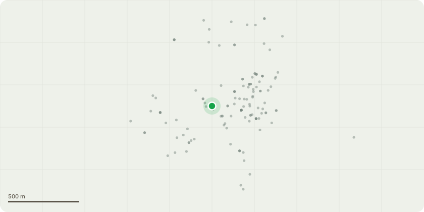
Approximate location
Proposal
Norway Spruce (Tree Ref: NS1) – full removal due to mature age, severe crown imbalance, proximity to dwelling (3.5 m), significant decay, and high windthrow risk Leyland Cypress (Tree Refs: LC1 & LC2) – full removal of two mature, top-heavy specimens with poor form, competition stress, and early signs of fungal decay, located within 3 m of a residential building and impinging on the adjacent Swamp Cypress Yew Tree (Tree Ref: Y1) – reduction of crown by one-third to alleviate structural stress following historic major limb failure and confirmed fungal activity; continued monitoring recommended Yew Trees (Tree Refs: Y2 & Y3) – full removal due to confirmed fungal infection (Laetiporus sulphureus), significant canopy dieback, restricted rooting space, lean toward property, and high structural failure risk TPO 48 (1979)
Key dates
- Received 10 Sept 2025
- Started 10 Sept 2025
- Decided 10 Nov 2025
Planning history / related applications
No related planning applications have been identified in the current public OGL dataset.
Inside plotEdge
Go beyond the public record
This page is the public OGL record. plotEdge adds the private intelligence layer for this site - open it in the app to unlock:
- Ownership & title Registered owner and title from HM Land Registry.
- Viability & build potential Site scoring and development upside.
- Constraints Flood risk, green belt, conservation areas and designations.
- Approval signal Planning risk and approval-likelihood analysis.
- Comparable applications Decisions on similar nearby sites, side by side.
- Status alerts Get notified the moment this application changes.
Source: public planning application data from Welwyn Hatfield, reused under the Open Government Licence v3.0. View the council source record. Council documents and drawings are not republished on plotEdge.