Warwick
Warwick/W/25/0348/LB
Number 6, 6 Castle Street, Warwick, CV34 4BP
- Reference
- Warwick/W/25/0348/LB
- Authority
- Warwick
- Application type
- Listed building consent
- Address
- Number 6, 6 Castle Street, Warwick, CV34 4BP
- Postcode
- CV34 4BP
- Status
- Decided
- Decision
- Refuse
- Received
- 13 Mar 2025
- Validated
- 26 Mar 2025
- Started
- 26 Mar 2025
- Decided
- 30 May 2025
- Source council
- Warwick
- Council source record
- View public record
- Public data licence
- Open Government Licence v3.0
- Record updated
- 18 Jul 2026
- SEO index generated
- 24 Jul 2026
Location
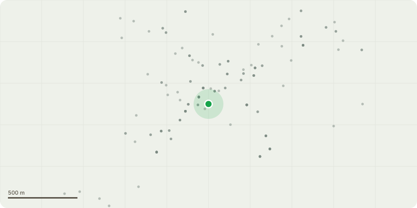
Approximate location
Proposal
Add signage to the front of the building in keeping with the character and style of the building and locality. The signage would be the words RANGOLI (this is the name of the restaurant). The signage would be created by the local Warwick company 'Warwick Signs' who are experts in Warwick signage and thus signage in keeping with conservation constraints. The signage will be gold acryclic letters fixed to the front of the building (no lighting, no illumination and in keeping with the classy nature of the street and building. Furthermore, there is evidence to suggest there was signage that existed on the front of the building in the same location many years ago in years gone when the business was the 'Gold Cup Inn'. Remnants of the signs fixings can be seen on the building if looking carefully (bolts) and also I have an artists drawing of how it looked in historic times showing the signage.
Key dates
- Received 13 Mar 2025
- Validated 26 Mar 2025
- Started 26 Mar 2025
- Decided 30 May 2025
Planning history / related applications
No related planning applications have been identified in the current public OGL dataset.
Inside plotEdge
Go beyond the public record
This page is the public OGL record. plotEdge adds the private intelligence layer for this site - open it in the app to unlock:
- Ownership & title Registered owner and title from HM Land Registry.
- Viability & build potential Site scoring and development upside.
- Constraints Flood risk, green belt, conservation areas and designations.
- Approval signal Planning risk and approval-likelihood analysis.
- Comparable applications Decisions on similar nearby sites, side by side.
- Status alerts Get notified the moment this application changes.
Source: public planning application data from Warwick, reused under the Open Government Licence v3.0. View the council source record. Council documents and drawings are not republished on plotEdge.