Wandsworth
Wandsworth/2026/2458
23 Burstock Lodge Flat 3 Burstock Road SW15 2PW
- Reference
- Wandsworth/2026/2458
- Authority
- Wandsworth
- Application type
- Works to a T.P.O. Tree
- Address
- 23 Burstock Lodge Flat 3 Burstock Road SW15 2PW
- Postcode
- SW15 2PW
- Status
- NEW
- Received
- 6 Jul 2026
- Started
- 6 Jul 2026
- Source council
- Wandsworth
- Council source record
- View public record
- Public data licence
- Open Government Licence v3.0
- Record updated
- 12 Jul 2026
- SEO index generated
- 24 Jul 2026
Location
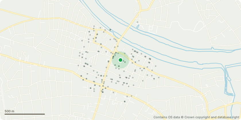
Approximate location - Contains OS data © Crown copyright and database right
Proposal
Apple Malus sp, classified by Landmark Trees as mature low quality (C) category 2 (landscape) with moderate vitality (marked with a grey dot as T in the sketch attached located in the rear garden of 23 Burstock road. I seek approval to fell the tree to ground level and replace it with a healthier tree in a better position. The proposal is based on the tree???s poor physiological quality, structural defects, and restrictive positioning. 1. Poor Physiological and Structural Quality: As shown in the attached photographs the main stem and primary upper canopy branches display a high density of significant canker-like burls, galls, and heavily distorted bark tissue. This systemic condition severely limits the long-term growth and aesthetic value. 2. Proximity to Built Structures: As shown in the photos attached the tree is situated in very close proximity to an adjacent brick building. 3. Low Public Amenity Value: Due to its species (domestic fruit tree), modest height (approx. 5m), and rear-garden location, the tree provides negligible public amenity value to the wider conservation area. Its removal will have no detrimental impact on the local landscape To maintain canopy cover within the conservation area I am proposing to plant a more appropriately sited replacement tree in the Position proposed on the attached sketch (PT).
Key dates
- Received 6 Jul 2026
- Started 6 Jul 2026
Planning history / related applications
No related planning applications have been identified in the current public OGL dataset.
Inside plotEdge
Go beyond the public record
This page is the public OGL record. plotEdge adds the private intelligence layer for this site - open it in the app to unlock:
- Ownership & title Registered owner and title from HM Land Registry.
- Viability & build potential Site scoring and development upside.
- Constraints Flood risk, green belt, conservation areas and designations.
- Approval signal Planning risk and approval-likelihood analysis.
- Comparable applications Decisions on similar nearby sites, side by side.
- Status alerts Get notified the moment this application changes.
Source: public planning application data from Wandsworth, reused under the Open Government Licence v3.0. View the council source record. Council documents and drawings are not republished on plotEdge.