Wandsworth
Wandsworth/2026/2363
7 Blenkarne Road SW11 6HZ
- Reference
- Wandsworth/2026/2363
- Authority
- Wandsworth
- Application type
- Works to a T.P.O. Tree
- Address
- 7 Blenkarne Road SW11 6HZ
- Postcode
- SW11 6HZ
- Status
- NEW
- Received
- 29 Jun 2026
- Started
- 29 Jun 2026
- Source council
- Wandsworth
- Council source record
- View public record
- Public data licence
- Open Government Licence v3.0
- Record updated
- 12 Jul 2026
- SEO index generated
- 24 Jul 2026
Location
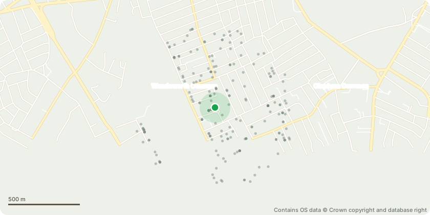
Approximate location - Contains OS data © Crown copyright and database right
Proposal
T001 - Sessile Oak in back garden of 7 Blenkarne Road which requires root pruning to allow space for building agreed in planning permission. The excavation trial pit has unearthed roots travelling within the soil underneath an existing concrete slab within the garden. There are 5 roots above 25mm which require pruning the total length of the removal of each root 1.5m back to the edge of the proposed building edge. Due to the length of roots being minimal the roots don't offer significant stability and represent a small amount of the rooting system. A root barrier will be put in place after pruning to stop future encroachment onto the new building. Root diameters at point of proposed pruning: Lone root Root 1 - 65mm (large due to root forking) Included in cluster- Roots 2 - 29mm Root 3 - 40mm Root 4 - 25mm Root 5 - 55mm
Key dates
- Received 29 Jun 2026
- Started 29 Jun 2026
Planning history / related applications
No related planning applications have been identified in the current public OGL dataset.
Inside plotEdge
Go beyond the public record
This page is the public OGL record. plotEdge adds the private intelligence layer for this site - open it in the app to unlock:
- Ownership & title Registered owner and title from HM Land Registry.
- Viability & build potential Site scoring and development upside.
- Constraints Flood risk, green belt, conservation areas and designations.
- Approval signal Planning risk and approval-likelihood analysis.
- Comparable applications Decisions on similar nearby sites, side by side.
- Status alerts Get notified the moment this application changes.
Source: public planning application data from Wandsworth, reused under the Open Government Licence v3.0. View the council source record. Council documents and drawings are not republished on plotEdge.