Wandsworth
Wandsworth/2026/2311
Oliver House School 7 Nightingale Lane SW4 9AH
- Reference
- Wandsworth/2026/2311
- Authority
- Wandsworth
- Application type
- Works to a T.P.O. Tree
- Address
- Oliver House School 7 Nightingale Lane SW4 9AH
- Postcode
- SW4 9AH
- Status
- NEW
- Received
- 23 Jun 2026
- Started
- 23 Jun 2026
- Source council
- Wandsworth
- Council source record
- View public record
- Public data licence
- Open Government Licence v3.0
- Record updated
- 12 Jul 2026
- SEO index generated
- 24 Jul 2026
Location
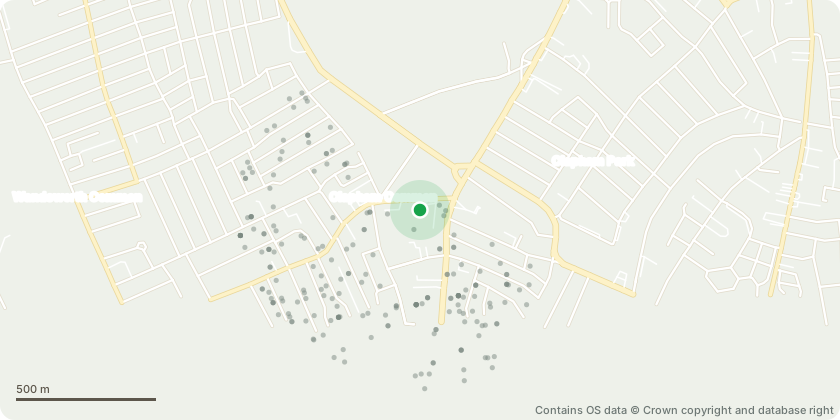
Approximate location - Contains OS data © Crown copyright and database right
Proposal
Gardeners recently installed some raised planters. During installation these two trees suffered damage (cambian damage at base of trunk + root compaction) and both trees have died. They have become brittle and are at risk of collapse, leading to potential risk to people or property. Suggested work: - fell to ground level - grind out stumps to a depth of 300mm to allow for replanting This 18m bald cypress tree has previously been reduced but not for many years. There is a 4m snapped limp overhanging the road around 14m high in the canopy. The edge of the canopy hangs low so that in summer the school sign cannot be read from the road. Suggested work: - remove the snapped hanger from the canopy - remove substantial deadwood - lift canopy all round to 6m This 12m mature lime tree has previously been pollarded, cyclical prune now due. Suggested work: - reduce all round back to previous reduction points, equating to 2-2.5m reduction
Key dates
- Received 23 Jun 2026
- Started 23 Jun 2026
Planning history / related applications
No related planning applications have been identified in the current public OGL dataset.
Inside plotEdge
Go beyond the public record
This page is the public OGL record. plotEdge adds the private intelligence layer for this site - open it in the app to unlock:
- Ownership & title Registered owner and title from HM Land Registry.
- Viability & build potential Site scoring and development upside.
- Constraints Flood risk, green belt, conservation areas and designations.
- Approval signal Planning risk and approval-likelihood analysis.
- Comparable applications Decisions on similar nearby sites, side by side.
- Status alerts Get notified the moment this application changes.
Source: public planning application data from Wandsworth, reused under the Open Government Licence v3.0. View the council source record. Council documents and drawings are not republished on plotEdge.