Wandsworth
Wandsworth/2026/2098
220-220A Queenstown Road SW8 4LP
- Reference
- Wandsworth/2026/2098
- Authority
- Wandsworth
- Application type
- Non-Material Amendment
- Address
- 220-220A Queenstown Road SW8 4LP
- Postcode
- SW8 4LP
- Status
- FINAL DECISION
- Decision
- Approve No Conditions 29/06/2026
- Received
- 18 Jun 2026
- Started
- 18 Jun 2026
- Source council
- Wandsworth
- Council source record
- View public record
- Public data licence
- Open Government Licence v3.0
- Record updated
- 9 Jul 2026
- SEO index generated
- 24 Jul 2026
Location
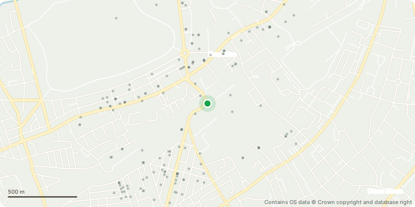
Approximate location - Contains OS data © Crown copyright and database right
Proposal
Application under s96a of the Town and Country Planning Act 1990 for amendments to conditions 8 (Unexploded Ordnance Desktop Threat Assessment), 9 (Construction Environment Management Plan), 10 (Construction Environment Management Biodiversity Plan), 11 (Construction Logistics Plan), 12 (Dust Management Plan), 19 (bird and bat boxes), 22 (detailed Fire Statement with a Fire Safety Strategy) and 25 (Mechanical Ventilation Heat Recovery system) of planning permission 2021/3958 dated 13/07/2023 (for "Demolition of the existing roof extension at fifth floor level and the existing two storey rear building, erection of a two storey (stepped) roof extension (including plant room) and erection of a full height extension up to new fifth floor level to the front and rear elevations to allow the connection of both buildings. Use of the rear ground floor for light industrial purposes, hub space and ancillary facilities and use of the upper floors for office purposes (Use Class E), with associated roof terrace, landscaping, and other external alterations"). (The proposed amendments seek to revise the trigger for submission and approval of details required by the conditions listed above.)
Key dates
- Received 18 Jun 2026
- Started 18 Jun 2026
Planning history / related applications
No related planning applications have been identified in the current public OGL dataset.
Inside plotEdge
Go beyond the public record
This page is the public OGL record. plotEdge adds the private intelligence layer for this site - open it in the app to unlock:
- Ownership & title Registered owner and title from HM Land Registry.
- Viability & build potential Site scoring and development upside.
- Constraints Flood risk, green belt, conservation areas and designations.
- Approval signal Planning risk and approval-likelihood analysis.
- Comparable applications Decisions on similar nearby sites, side by side.
- Status alerts Get notified the moment this application changes.
Source: public planning application data from Wandsworth, reused under the Open Government Licence v3.0. View the council source record. Council documents and drawings are not republished on plotEdge.