Wandsworth
Wandsworth/2025/2814
42 Charlwood Road SW15 1PW
- Reference
- Wandsworth/2025/2814
- Authority
- Wandsworth
- Application type
- Work to trees in conservation area
- Address
- 42 Charlwood Road SW15 1PW
- Postcode
- SW15 1PW
- Status
- FINAL DECISION
- Decision
- Allow Works, No Tree Preservation Order 13/08/2025
- Received
- 7 Aug 2025
- Started
- 7 Aug 2025
- Source council
- Wandsworth
- Council source record
- View public record
- Public data licence
- Open Government Licence v3.0
- Record updated
- 9 Jul 2026
- SEO index generated
- 24 Jul 2026
Location
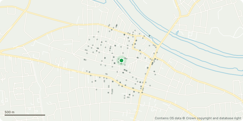
Approximate location - Contains OS data © Crown copyright and database right
Proposal
Rear T1 Acer spp x 1 - Remove green leaved branches and shoots. Rear T2 Indian Bean Tree x 1 (Catalpa bignonioides) : - Remove internal deadwood - remove ivy (and inspect low unions) - remove some of the small branches on the canopies edge overhanging garden (to be directed by the client). Rear T3 Cherry x 1 (Prunus spp) Fell. Rear T4 Viburnum x 1 - Reduce the height by 1.5m - prune edge to make flowing outline of canopy, that fits in with height of bushes/ivy/fence behind. Rear T5 Laurel x 1 (Prunus spp) - Reduce back from the garden by 1-1.5m. Rear G6 Holly x 1 (Ilex aquifolium) - Reduce the height of the holly tree by 2m - trim and shape both into a neater more contained shape. Rear T7 Pittosporum x 1 (Pittosporum tenuifolium tobira) - Reduce the height by 2.5m, ensuring away from roof and gutters - thin by 15%. Rear T8 Cotoneaster x 1 - Reduce the lateral growth by 3m to a suitable growth point, including removing the clump of dead creeper. Rear G9 Cotoneaster x 3 - Remove dead trunk - reduce height of tallest tree by 2.5m to make uniformed canopy height cut back from building to give 0.5m clearance, maintaining natural arch over side access three cotoneaster trees create a natural canopy over the side entrance. Remove dead trunk - reduce height of tallest tree by 2.5m to make uniformed canopy height cut back from building to give 0.5m clearance, maintaining natural arch over side access.
Key dates
- Received 7 Aug 2025
- Started 7 Aug 2025
Planning history / related applications
No related planning applications have been identified in the current public OGL dataset.
Inside plotEdge
Go beyond the public record
This page is the public OGL record. plotEdge adds the private intelligence layer for this site - open it in the app to unlock:
- Ownership & title Registered owner and title from HM Land Registry.
- Viability & build potential Site scoring and development upside.
- Constraints Flood risk, green belt, conservation areas and designations.
- Approval signal Planning risk and approval-likelihood analysis.
- Comparable applications Decisions on similar nearby sites, side by side.
- Status alerts Get notified the moment this application changes.
Source: public planning application data from Wandsworth, reused under the Open Government Licence v3.0. View the council source record. Council documents and drawings are not republished on plotEdge.