Wandsworth
Wandsworth/2025/2714
19-21 Fairlawns Putney Hill SW15 6BD
- Reference
- Wandsworth/2025/2714
- Authority
- Wandsworth
- Application type
- Works to a T.P.O. Tree
- Address
- 19-21 Fairlawns Putney Hill SW15 6BD
- Postcode
- SW15 6BD
- Status
- NEW
- Received
- 30 Jul 2025
- Started
- 30 Jul 2025
- Source council
- Wandsworth
- Council source record
- View public record
- Public data licence
- Open Government Licence v3.0
- Record updated
- 9 Jul 2026
- SEO index generated
- 24 Jul 2026
Location
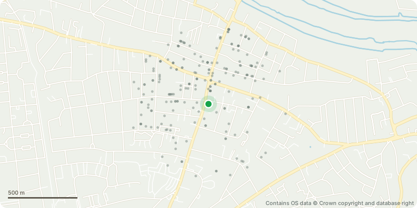
Approximate location - Contains OS data © Crown copyright and database right
Proposal
AWAITING FOR AGENT UPDATE See map T1 Holm Oak (Evergreen) x 1 (Quercus ilex) Suggested work- cut back from Fairlawns flats by 1.5m - cut back from neighbouring building and gutters by 1m - lift over car park to 4m See map T2 Cherry x 1 (Prunus spp) Suggested work- lift over footpath and car park to 2.5m See map T4 Purple leaf Plum x 1 (Prunus cerasifera 'Nigra') Lift over footpath and car park to 2.5m See map T5 Judas Tree x 1 Suggested work- Lift over car park and footpath to 2.5m- remove internal deadwood See map G6 Lime x 9 (Tilia spp) This line of 14m mature lime trees on St John's Avenue have previously been reducedbut not for some time. Their cyclical prune is now due. Suggested work:- crown reductions x9 - reduce back to previous reduction points equating to a height reduction of 3.5m and a lateral reduction of 2-3m - leaving furnishing growth Neighbouring garden - see map T7 Cherry x 1 (Prunus spp) This cherry tree growing from the neighbours garden overhangs the rear garden. Suggested work: - cut back toward the boundary to suitable growth points. This will allow more sunlight to flower bed beneath and ensure no shrubs beneath become suppressed
Key dates
- Received 30 Jul 2025
- Started 30 Jul 2025
Planning history / related applications
No related planning applications have been identified in the current public OGL dataset.
Inside plotEdge
Go beyond the public record
This page is the public OGL record. plotEdge adds the private intelligence layer for this site - open it in the app to unlock:
- Ownership & title Registered owner and title from HM Land Registry.
- Viability & build potential Site scoring and development upside.
- Constraints Flood risk, green belt, conservation areas and designations.
- Approval signal Planning risk and approval-likelihood analysis.
- Comparable applications Decisions on similar nearby sites, side by side.
- Status alerts Get notified the moment this application changes.
Source: public planning application data from Wandsworth, reused under the Open Government Licence v3.0. View the council source record. Council documents and drawings are not republished on plotEdge.