Wandsworth
Wandsworth/2025/2451
DHL Depot, 1-12 Ponton Road and 51 Nine Elms Lane SW8 5DA
- Reference
- Wandsworth/2025/2451
- Authority
- Wandsworth
- Application type
- Non-Material Amendment
- Address
- DHL Depot, 1-12 Ponton Road and 51 Nine Elms Lane SW8 5DA
- Postcode
- SW8 5DA
- Status
- WITHDRAWN
- Decision
- Withdrawn
- Received
- 26 Sept 2025
- Started
- 26 Sept 2025
- Source council
- Wandsworth
- Council source record
- View public record
- Public data licence
- Open Government Licence v3.0
- Record updated
- 9 Jul 2026
- SEO index generated
- 24 Jul 2026
Location
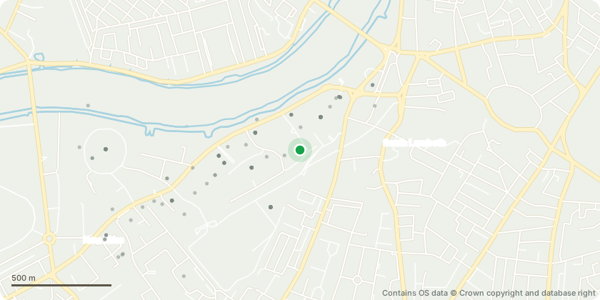
Approximate location - Contains OS data © Crown copyright and database right
Proposal
Non-material amendment to revised reserved matters permission dated 01/12/2016 ref 2015/4821 (Details of Landscaping and Public Space in relation to Phase 2 to discharge condition 3 (parts d and e) of planning permission 2011/1815 dated 30th March 2012 for demolition of all existing buildings and construction of a mixed use redevelopment to provide residential units, including affordable housing, retail, financial and professional services, cafe/restaurant, bar and hot food take-away uses, car showrooms, office floorspace and flexible workspace, a hotel, community uses and assembly and leisure uses, associated basement and ground level parking and servicing; energy centres; new vehicle and pedestrian access and circulation; and new public amenity space and landscaping including part of the 'Linear Park'.)
Key dates
- Received 26 Sept 2025
- Started 26 Sept 2025
Planning history / related applications
No related planning applications have been identified in the current public OGL dataset.
Inside plotEdge
Go beyond the public record
This page is the public OGL record. plotEdge adds the private intelligence layer for this site - open it in the app to unlock:
- Ownership & title Registered owner and title from HM Land Registry.
- Viability & build potential Site scoring and development upside.
- Constraints Flood risk, green belt, conservation areas and designations.
- Approval signal Planning risk and approval-likelihood analysis.
- Comparable applications Decisions on similar nearby sites, side by side.
- Status alerts Get notified the moment this application changes.
Source: public planning application data from Wandsworth, reused under the Open Government Licence v3.0. View the council source record. Council documents and drawings are not republished on plotEdge.