Wandsworth
Wandsworth/2025/2302
228 Flat A Beechcroft Road SW17 7DP
- Reference
- Wandsworth/2025/2302
- Authority
- Wandsworth
- Application type
- Work to trees in conservation area
- Address
- 228 Flat A Beechcroft Road SW17 7DP
- Postcode
- SW17 7DP
- Status
- FINAL DECISION
- Decision
- Make Tree Preservation Order 09/09/2025
- Received
- 30 Jul 2025
- Started
- 30 Jul 2025
- Source council
- Wandsworth
- Council source record
- View public record
- Public data licence
- Open Government Licence v3.0
- Record updated
- 9 Jul 2026
- SEO index generated
- 24 Jul 2026
Location
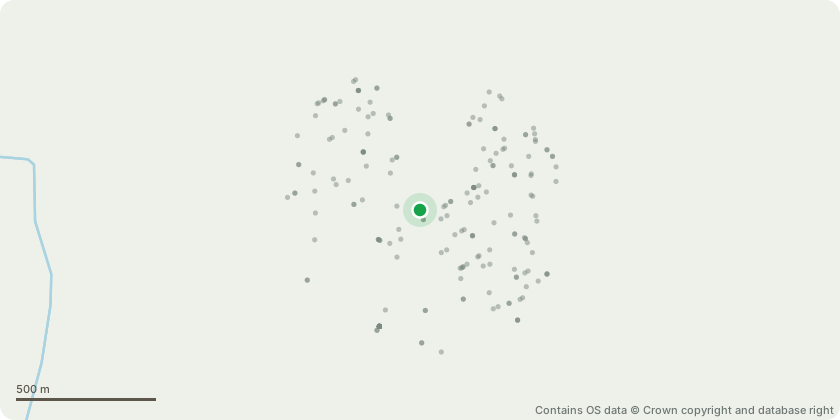
Approximate location - Contains OS data © Crown copyright and database right
Proposal
T1 Lime: Fell Ongoing Regrowth and Maintenance Burden As an old pollard, the tree produces vigorous epicormic and basal regrowth, requiring regular maintenance. The regrowth obstructs the footpath and significantly reduces visibility near the entrance to the property. Low Amenity Value Due to its repeatedly reduced form and low height, the tree provides little visual or environmental benefit in its current state. It lacks structure or canopy and is no longer an effective street or garden tree. Pavement Obstruction and Root Disturbance Its position directly next to the pavement is causing obstruction to pedestrian access and the root system has begun to disrupt the paving surface, posing a trip hazard and potential liability issue. poorly positioned, visually compromised, and problematic for both the property owner and public
Key dates
- Received 30 Jul 2025
- Started 30 Jul 2025
Planning history / related applications
No related planning applications have been identified in the current public OGL dataset.
Inside plotEdge
Go beyond the public record
This page is the public OGL record. plotEdge adds the private intelligence layer for this site - open it in the app to unlock:
- Ownership & title Registered owner and title from HM Land Registry.
- Viability & build potential Site scoring and development upside.
- Constraints Flood risk, green belt, conservation areas and designations.
- Approval signal Planning risk and approval-likelihood analysis.
- Comparable applications Decisions on similar nearby sites, side by side.
- Status alerts Get notified the moment this application changes.
Source: public planning application data from Wandsworth, reused under the Open Government Licence v3.0. View the council source record. Council documents and drawings are not republished on plotEdge.