Wandsworth
Wandsworth/2025/0900
36-38 Mary Holben House Thrale Road SW16 1NX
- Reference
- Wandsworth/2025/0900
- Authority
- Wandsworth
- Application type
- Works to a T.P.O. Tree
- Address
- 36-38 Mary Holben House Thrale Road SW16 1NX
- Postcode
- SW16 1NX
- Status
- WITHDRAWN
- Decision
- Withdrawn
- Received
- 19 Mar 2025
- Started
- 19 Mar 2025
- Source council
- Wandsworth
- Council source record
- View public record
- Public data licence
- Open Government Licence v3.0
- Record updated
- 18 Jul 2026
- SEO index generated
- 24 Jul 2026
Location
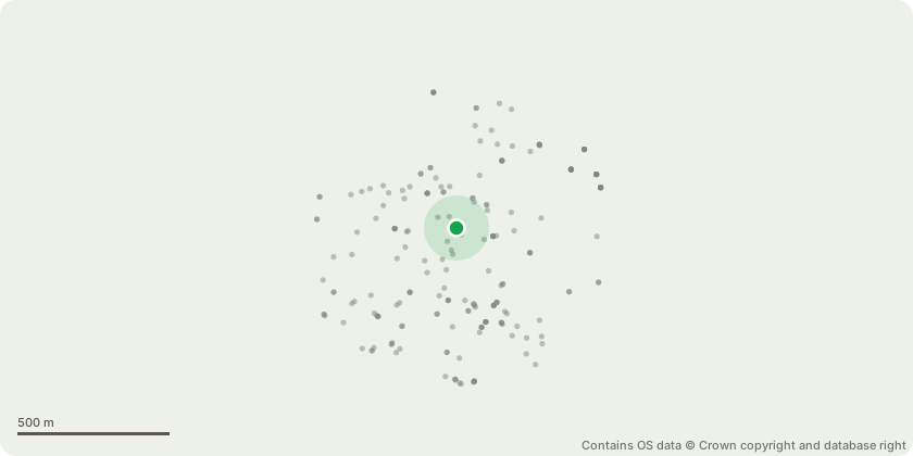
Approximate location - Contains OS data © Crown copyright and database right
Proposal
SENT EMAIL TO RYAN FOR FURTHER COMMENTS T1. Cherry Tree. 14 metres in height. 4 metres in width. Fell to ground level. Growing far too close to the building eventually will be touching the building blocking natural sunlight. Situated in the rear garden of Mary Holben House. T2. Yucca Tree. 12 metres in height. 8 metres in width. Reduce all limbs by 3 metres leaving the tree 5 metres in width and 9 metres in height. Tree is towering over the residential building and has become very overgrown and blocking a lot of natural sunlight, also leaning over the building. Reshape to tidy tree. Situated next to T1 in the rear garden. T3. Ash Tree. 8 metres in height. 2 metres in width. Fell tree as it has become very overgrown and growing out of the Laurel Hedge, making this garden look very untidy. Situated on the rear left corner of the building. T4. Holly Tree. 4 metres in height. 1.5 metres in width. Fell as tree has become overgrown and blocking light next to the building also shadowing over the garden. Situated next to T3 in the corner of the rear garden. T5. Sycamore Tree. 16 metres in height. 8 metres in width. Remove hanging, broken limb. Lift to 5 metres and cut back by 2 metres leaving the tree 6 metres in width. To allow light in on the grass area and to allow the path way to be usable for resident that live there. Situated in the rear garden
Key dates
- Received 19 Mar 2025
- Started 19 Mar 2025
Planning history / related applications
No related planning applications have been identified in the current public OGL dataset.
Inside plotEdge
Go beyond the public record
This page is the public OGL record. plotEdge adds the private intelligence layer for this site - open it in the app to unlock:
- Ownership & title Registered owner and title from HM Land Registry.
- Viability & build potential Site scoring and development upside.
- Constraints Flood risk, green belt, conservation areas and designations.
- Approval signal Planning risk and approval-likelihood analysis.
- Comparable applications Decisions on similar nearby sites, side by side.
- Status alerts Get notified the moment this application changes.
Source: public planning application data from Wandsworth, reused under the Open Government Licence v3.0. View the council source record. Council documents and drawings are not republished on plotEdge.