Wandsworth
Wandsworth/2024/4365
39 Heathfield Road SW18 2PH
- Reference
- Wandsworth/2024/4365
- Authority
- Wandsworth
- Application type
- Works to a T.P.O. Tree
- Address
- 39 Heathfield Road SW18 2PH
- Postcode
- SW18 2PH
- Status
- FINAL DECISION
- Decision
- Refuse 21/01/2025
- Received
- 10 Jan 2025
- Started
- 10 Jan 2025
- Source council
- Wandsworth
- Council source record
- View public record
- Public data licence
- Open Government Licence v3.0
- Record updated
- 13 Jul 2026
- SEO index generated
- 24 Jul 2026
Location
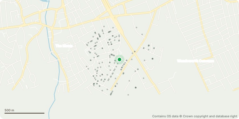
Approximate location - Contains OS data © Crown copyright and database right
Proposal
TPO 504/2024 T1Cooper Beech & T2 Copper Beeach Crown Reduction: Reduce the crowns to the most recent reduction points, ensuring continuity by retaining selected shortened furnishing growth. Canopy Raising: Elevate the canopy to a height of 4.5 meters, removing tertiary branches only. Justification for Works: 1. Routine Maintenance: Essential to maintain clearance from the highway. Prevents mutual suppression between the trees, supporting healthy development and good form. Mitigates root activity to minimize damage to adjacent hardscaping. 2. Cyclical Pruning Requirements: Necessary to prevent direct damage caused by the trees growth. Addresses the constraints posed by the inadequate space available for the trees to reach their natural mature size. 3. Site-Specific Constraints: The trees are suppressed due to their restricted rooting environment. Their proximity to a retaining wall poses a risk of direct damage, further limiting their Safe Useful Life Expectancy in this location. Impact on Public Amenity: The proposed works will result in minimal loss of public amenity, as the overall retention of the trees ensures their continued contribution to the landscape. This proposal strikes a balance between maintaining public amenity and addressing the practical constraints imposed by the trees' current location and condition.
Key dates
- Received 10 Jan 2025
- Started 10 Jan 2025
Planning history / related applications
No related planning applications have been identified in the current public OGL dataset.
Inside plotEdge
Go beyond the public record
This page is the public OGL record. plotEdge adds the private intelligence layer for this site - open it in the app to unlock:
- Ownership & title Registered owner and title from HM Land Registry.
- Viability & build potential Site scoring and development upside.
- Constraints Flood risk, green belt, conservation areas and designations.
- Approval signal Planning risk and approval-likelihood analysis.
- Comparable applications Decisions on similar nearby sites, side by side.
- Status alerts Get notified the moment this application changes.
Source: public planning application data from Wandsworth, reused under the Open Government Licence v3.0. View the council source record. Council documents and drawings are not republished on plotEdge.