Wandsworth
Wandsworth/2024/4298
Block C Peabody Estate St Johns Hill SW11 1UA
- Reference
- Wandsworth/2024/4298
- Authority
- Wandsworth
- Application type
- Details (following full perm.)
- Address
- Block C Peabody Estate St Johns Hill SW11 1UA
- Postcode
- SW11 1UA
- Status
- FINAL DECISION
- Decision
- Approve No Conditions 28/03/2025
- Received
- 20 Dec 2024
- Started
- 20 Dec 2024
- Source council
- Wandsworth
- Council source record
- View public record
- Public data licence
- Open Government Licence v3.0
- Record updated
- 13 Jul 2026
- SEO index generated
- 24 Jul 2026
Location
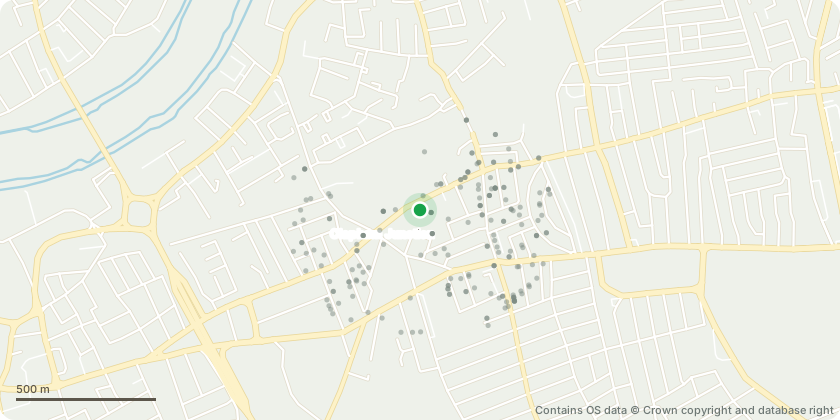
Approximate location - Contains OS data © Crown copyright and database right
Proposal
Partial discharge of details related to landscaping, play space/equipment and treatment, trees, including size, species and location pursuant to condition 11 and 13 of planning permission dated 18/10/2012 ref 2012/1258 (varied by 2021/5678) Demolition of all existing buildings. Erection of five buildings of 4-12, 4-8, 7, 5-7 and 4-6 storeys to provide 527 residential units (135 x 1 bed, 261 x 2 bed,105 x 3 bed and 26 x 4 bed), with approx 7800 square metres of private, communal and public space and public routes. Car parking (121 spaces within basement and 15 spaces at grade), 687 cycle parking spaces plus approximately 530 square metres of community space in the centre of the site and approximately 569 square metres of commercial space (classes A1-A5 (retail, financial and professional services, cafe/restaurant, take away, pub/bar and/or B1 office use) at the northern end of the site. Vehicular accesses from Comyn Road and Eckstein Road and emergency access from St John's Hill and Strath Terrace.
Key dates
- Received 20 Dec 2024
- Started 20 Dec 2024
Planning history / related applications
No related planning applications have been identified in the current public OGL dataset.
Inside plotEdge
Go beyond the public record
This page is the public OGL record. plotEdge adds the private intelligence layer for this site - open it in the app to unlock:
- Ownership & title Registered owner and title from HM Land Registry.
- Viability & build potential Site scoring and development upside.
- Constraints Flood risk, green belt, conservation areas and designations.
- Approval signal Planning risk and approval-likelihood analysis.
- Comparable applications Decisions on similar nearby sites, side by side.
- Status alerts Get notified the moment this application changes.
Source: public planning application data from Wandsworth, reused under the Open Government Licence v3.0. View the council source record. Council documents and drawings are not republished on plotEdge.