Wandsworth
Wandsworth/2024/4069
Block C Peabody Estate St Johns Hill SW11 1UA
- Reference
- Wandsworth/2024/4069
- Authority
- Wandsworth
- Application type
- Details (following full perm.)
- Address
- Block C Peabody Estate St Johns Hill SW11 1UA
- Postcode
- SW11 1UA
- Status
- FINAL DECISION
- Decision
- Approve No Conditions 18/03/2025
- Received
- 10 Dec 2024
- Started
- 10 Dec 2024
- Source council
- Wandsworth
- Council source record
- View public record
- Public data licence
- Open Government Licence v3.0
- Record updated
- 13 Jul 2026
- SEO index generated
- 24 Jul 2026
Location
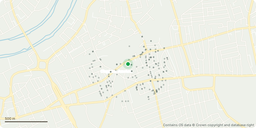
Approximate location - Contains OS data © Crown copyright and database right
Proposal
Details of RBA Stage 4 Acoustic Report pursuant to conditions 6 and 7 of planning permission dated 03/11/2022 ref 2021/5678 (Variation of Condition 15 (in accordance with approved drawings), Condition 24 (lifetime homes standards), Condition 25 (Code for Sustainable Homes Interim (Design Stage) Certificate), Condition 28 (Energy Performance Certificate), Condition 32 (secure cycle parking spaces), Condition 41 (building heights), Condition 42 (non-residential floorspace) and Condition 43 (residential units) pursuant to planning permission dated 19/01/2019 ref 2017/5837 to allow: Changes to internal residential layouts resulting in an amended residential unit mix (including an increase of up to 59 residential units); minor adjustments to the massing, building footprint and height of Plots 3 and 7 (Phase 3) and associated changes to the external building façade of Plots 3, 7and 8 (Phase 3); reconfiguration of commercial floorspace; alterations to play space and landscape design, servicing arrangements, cycle parking and provision of plant).
Key dates
- Received 10 Dec 2024
- Started 10 Dec 2024
Planning history / related applications
No related planning applications have been identified in the current public OGL dataset.
Inside plotEdge
Go beyond the public record
This page is the public OGL record. plotEdge adds the private intelligence layer for this site - open it in the app to unlock:
- Ownership & title Registered owner and title from HM Land Registry.
- Viability & build potential Site scoring and development upside.
- Constraints Flood risk, green belt, conservation areas and designations.
- Approval signal Planning risk and approval-likelihood analysis.
- Comparable applications Decisions on similar nearby sites, side by side.
- Status alerts Get notified the moment this application changes.
Source: public planning application data from Wandsworth, reused under the Open Government Licence v3.0. View the council source record. Council documents and drawings are not republished on plotEdge.