Wandsworth
Wandsworth/2024/3073
101A-113 Tooting High Street London SW17 0SU
- Reference
- Wandsworth/2024/3073
- Authority
- Wandsworth
- Application type
- Details (following full perm.)
- Address
- 101A-113 Tooting High Street London SW17 0SU
- Postcode
- SW17 0SU
- Status
- FINAL DECISION
- Decision
- Approve No Conditions 12/02/2026
- Received
- 19 Sept 2024
- Started
- 19 Sept 2024
- Source council
- Wandsworth
- Council source record
- View public record
- Public data licence
- Open Government Licence v3.0
- Record updated
- 13 Jul 2026
- SEO index generated
- 24 Jul 2026
Location
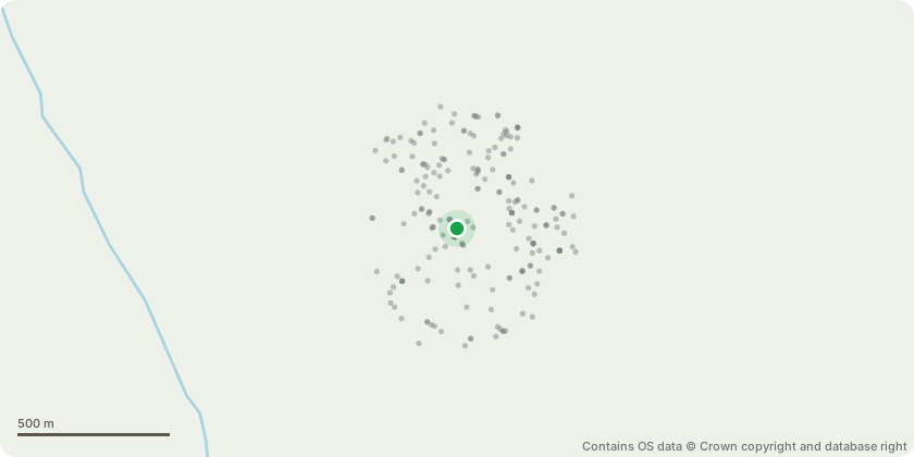
Approximate location - Contains OS data © Crown copyright and database right
Proposal
Details of Thames Water - Water Network pursuant to condition 43 of planning permission dated 05/02/2024 ref 2023/0787 (Variation of conditions 2 (approved drawings), 40 (Crossrail2) and 41 (London Underground) of planning permission dated 11/08/2020 ref.2019/4999 (as amended by Non-Material Amendments (NMA) dated 20/01/2022 ref.2021/5376, NMA dated 09/12/2022 ref.2022/4628 and NMA dated 25/01/2023 ref.2022/1962) (Demolition of existing buildings and redevelopment of the site for a part 3/4/5/6-storey scheme, including 1 storey of basement level, comprising hotel rooms (Class C1), incorporating the rebuild and repositioning of Tooting Constitutional Clubhouse to be used as a cafe facility (Class A3), community use (Class D1/D2) set out over basement and ground floor levels and publicly accessible open space at ground floor level and ancillary refuse and recycling storage, cycle parking, wheelchair parking, servicing arrangements and hard and soft landscaping.) to allow reduction of hotel floorspace and internal and external alterations in line with NMA ref.2022/1962; Change to wording of compliance conditions 40 and 41 to replace approved set of documents with revised set of documents.)
Key dates
- Received 19 Sept 2024
- Started 19 Sept 2024
Planning history / related applications
No related planning applications have been identified in the current public OGL dataset.
Inside plotEdge
Go beyond the public record
This page is the public OGL record. plotEdge adds the private intelligence layer for this site - open it in the app to unlock:
- Ownership & title Registered owner and title from HM Land Registry.
- Viability & build potential Site scoring and development upside.
- Constraints Flood risk, green belt, conservation areas and designations.
- Approval signal Planning risk and approval-likelihood analysis.
- Comparable applications Decisions on similar nearby sites, side by side.
- Status alerts Get notified the moment this application changes.
Source: public planning application data from Wandsworth, reused under the Open Government Licence v3.0. View the council source record. Council documents and drawings are not republished on plotEdge.