Walsall
Walsall/25/0610
354, BIRMINGHAM ROAD, WALSALL, WS5 3NX
- Reference
- Walsall/25/0610
- Authority
- Walsall
- Application type
- Certificate: Lawful Development
- Address
- 354, BIRMINGHAM ROAD, WALSALL, WS5 3NX
- Postcode
- WS5 3NX
- Status
- Decision Issued
- Decision
- Grant Certificate of Lawful Existing use or Development
- Received
- 29 May 2025
- Started
- 29 May 2025
- Decided
- 24 Jul 2025
- Source council
- Walsall
- Council source record
- View public record
- Public data licence
- Open Government Licence v3.0
- Record updated
- 12 Jul 2026
- SEO index generated
- 24 Jul 2026
Location
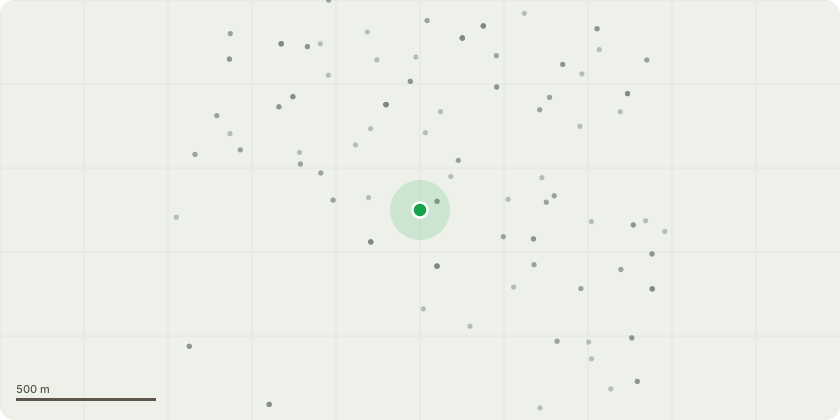
Approximate location
Proposal
Lawful Development Certificate confirming works carried out constitiute a material commencement under planning law for planning approval 23/0891 for Excavation Works – Groundworks have been undertaken, with clear evidence of excavation, Foundation and Drainage – Following excavation, work on the drainage has been undertaken with clear evidence confirming substantive work, Removal and Replacement of Trees – As part of the work undertaken, T23 T25 and T31 as per drawing AEL-18827-TPP and AEL-18827-TWP has been removed and replaced, Building Control Attendance – Walsall Council Building Control has attended the site and confirmed that excavation works had commenced and that concrete was subsequently poured, providing independent verification of the material start, Protective fencing and ground protection measures for trees have been installed and inspected and 1 No. bat box and 1 No. bird box has been fixed in appropriate locations and inspected.
Key dates
- Received 29 May 2025
- Started 29 May 2025
- Decided 24 Jul 2025
Planning history / related applications
No related planning applications have been identified in the current public OGL dataset.
Inside plotEdge
Go beyond the public record
This page is the public OGL record. plotEdge adds the private intelligence layer for this site - open it in the app to unlock:
- Ownership & title Registered owner and title from HM Land Registry.
- Viability & build potential Site scoring and development upside.
- Constraints Flood risk, green belt, conservation areas and designations.
- Approval signal Planning risk and approval-likelihood analysis.
- Comparable applications Decisions on similar nearby sites, side by side.
- Status alerts Get notified the moment this application changes.
Source: public planning application data from Walsall, reused under the Open Government Licence v3.0. View the council source record. Council documents and drawings are not republished on plotEdge.